
Update: Electra Fire now 40% contained, officials lift evacuation orders
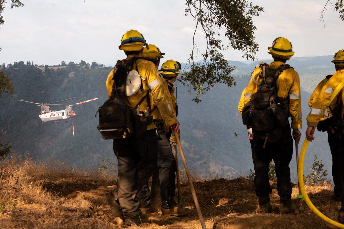
Firefighters eased evacuation orders in the Sierra Nevada foothills Wednesday afternoon as crews were able to contain the Electra Fire’s spread throughout the day.
Cal Fire announced Wednesday afternoon that the blaze is now 40% contained, up significantly from 10% in the morning. The fire now stands at 4,112 acres, up slightly from 3,900 earlier in the day.
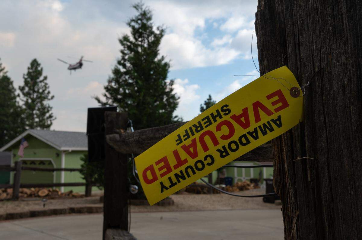
As firefighters gained control of the blaze, officials lifted evacuations in Amador County, allowing residents to return to their homes three days after the fire ignited.
Beyond the increased containment — which refers to the areas in which control lines have been established around the blaze — Cal Fire also announced that the Electra Fire is 17% controlled, meaning that there is no longer smoke or fire activity within 17% of the fire’s footprint.
Amador County Sheriff Gary Redman said about 50 displaced people spent Tuesday night at a shelter, where he described them as “busy but hopeful.”
Cal Fire estimated more than 1,200 structures were threatened by the fire, and evacuations had forced hundreds of people from their homes.
The fire burned in a canyon next to the north fork of the Mokelumne River overnight between Tuesday and Wednesday, and continued to burn Wednesday in mountainous terrain about 5 miles southeast of Jackson and 50 miles southeast of Sacramento.
Officials predicted that the fire would stay away from homes if it remained bellow the ridge line on either side of the river.
On Wednesday afternoon, the Amador County Sheriff’s Office moved a road closure up Butte Mountain Road from the Lower Clinton Road Intersection to the Upper Clinton Road Intersection, reducing the evacuation order for the previously-closed stretch.
The warning zone running east from Jackson, along Highway 88 to Previtali Road, was also removed on Wednesday afternoon, signaling that residents can return to their homes.
In Calaveras County, evacuations were set for zones 100, 103, 104, 351, 352, 358 and 359.
The fire initially stranded around 100 people who were moved to a PG&E powerhouse from a nearby beach Monday evening. The evacuees were safely moved out of the area, authorities said Tuesday.
On Tuesday, Cal Fire assigned Incident Management Team 3 to the Electra Fire, adding to the 1,225 personnel working on the fire as of Tuesday morning. Team 3 is one of Cal Fire’s six incident management teams, which are dispatched to significant wildfires across the state.
Cal Fire reported that weather helped firefighters manage the fire, with rising humidity Wednesday morning slowing the blaze.
This story was originally published July 6, 2022 at 8:34 AM.