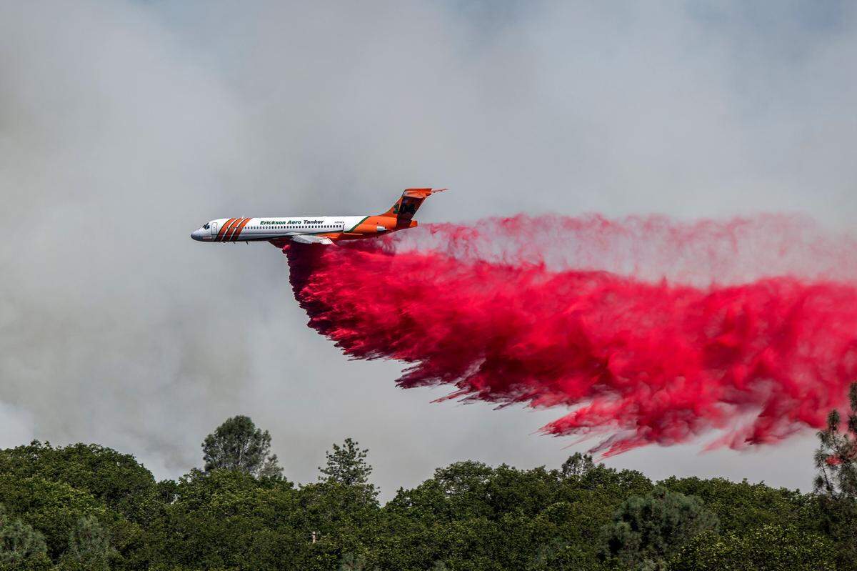
Increased fire risk expected in Northern California for next few months. See where
As the peak of California’s fire season nears, federal forecasters say the mountains and inland valleys of Northern California face a riskier stretch than usual over the next three months.
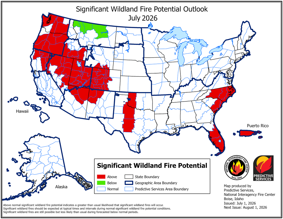
The National Interagency Fire Center’s July outlook projects above-normal significant fire potential from July through September across northeastern California and the Northern Sierra — a swath that includes communities from the Shasta-Trinity region through the northern portions of the Sacramento Valley and down to South Lake Tahoe.
The coast and lower Sacramento Valley are expected to see a normal fire season. But for much of northern California’s mountainous interior, several forces are converging to push risk higher.
Why fire fuels are plentiful — and drying fast
According to the National Centers for Environmental Information, California experienced its second-warmest spring on record — only the spring of 1934 was warmer.
Kathleen Clough, a graduate research assistant studying wildfires with the Desert Research Institute in Reno, Nevada, said these warmer temperatures have set the stage for potential fires.
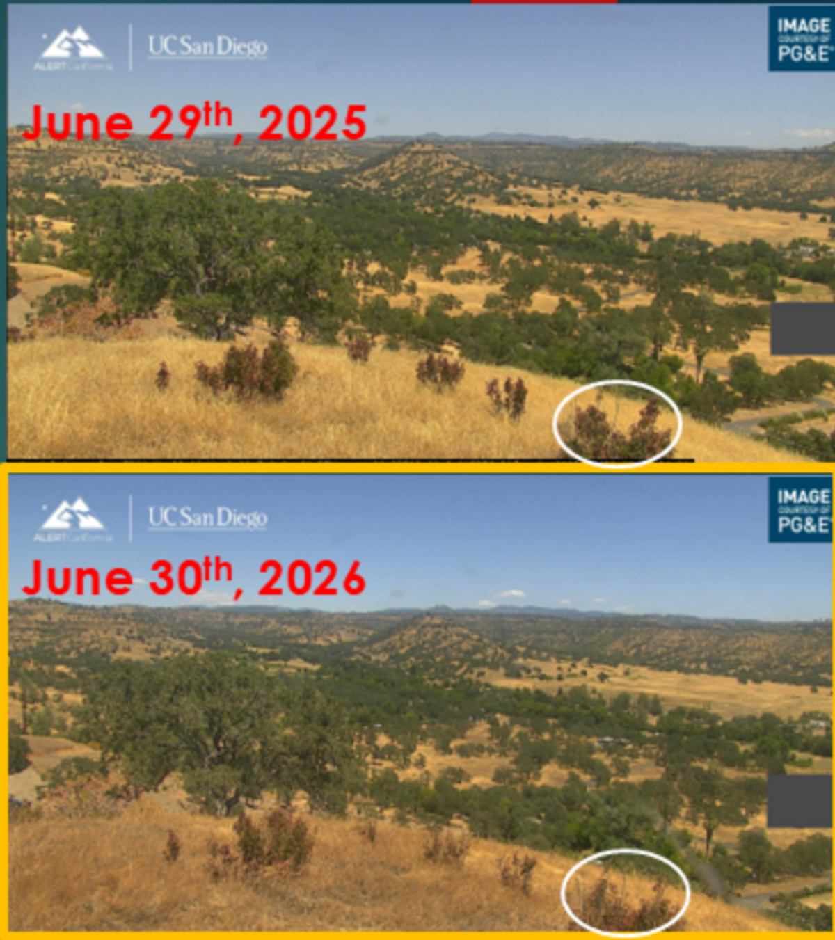
“This led to an early melt-off of snow, leaving most lower elevation areas completely devoid of snow by late March. This early snowmelt, in combination with a low snowpack, allowed more herbaceous and fine fuels, like grasses, to survive through the winter and carry over into the spring,” Clough said.
The warm March was followed by a wet April that kept vegetation growing.
“Additionally, some areas of Northern California received 200 to 300% more precipitation than average during the month of April, which drove new herbaceous and fine fuel (grass) growth,” Clough.
“The combination of these two factors has led to above normal herbaceous plant production across Northern California.”
Brush fuels have been mostly moist through June. That’s changing. The National Interagency Fire Center’s new outlook says brush will become “more of a contributor to fire spread during the next few months,” with the greatest live fuel stress concentrated in the northern and eastern portions of the state.
June was quiet, with below-average lightning
Lightning in June was below average: roughly 4,300 strikes versus an average near 7,400. But the pattern is revealing — the bulk of those strikes came in a concentrated burst from June 18 to 20, showing how quickly conditions can escalate from quiet to active.
Only four large fires were reported through June 28, well below the regional June average of 11.3, the daily ignition rate of 16.6 fires per day was up sharply from May’s 10.2.
According to the new July outlook, that anomaly is not expected to continue.
Clough says that day-to-day weather will still be the flash point for fires to spark.
“From a fuels-focused and long-term perspective, as fuels continue to dry out, fire risk will increase as the summer progresses. At a smaller temporal scale, risk will be further driven and controlled by local weather conditions,” Clough said.
“The public should stay aware of any fire weather watches or red flag warnings issued by local National Weather Service offices for their area.”
Fire risk month by month
July: An average July in Northern California sees 15 large fires, according the National Interagency Fire Center. Dead fuels will go through drying cycles, brush fuels will become increasingly more vulnerable, and the frequency of wind events and occasional mountain thunderstorms is expected to be near to slightly above normal. The question is whether lightning shows up in force, and whether those thunderstorms arrive dry or wet.
August: Historically the peak month, August averages 17 large fires across the region. By then, fuels at mid- and upper elevations will have cured further, brush will be even more flammable and any extended heat waves will compound drought stress in the mountains.
September: Eight large fires will burn in Northern California in an average year. This year, the above-normal risk persists through September in northern interior California, though shorter days and the possibility of early-season moisture from El Niño could begin moderating conditions.
October: The outlook expects a return to normal across all of Northern California. Four large fires would be considered average.