Latest on Northern CA weekend storm as thunderstorms, snow and hail materialize
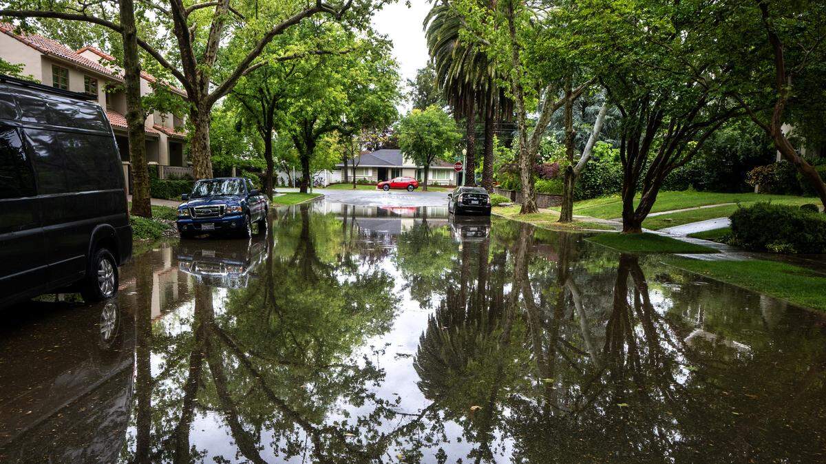
Rain and thunderstorms are underway in the capital region this weekend, bringing potential for hail and even weak tornadoes in some parts of Northern California.
The National Weather Service reports rain showers, thunderstorms and wind are expected Saturday afternoon and evening in Sacramento. Rainy weather conditions may continue into Sunday but with less wind.
Winds in Sacramento could get up to 26 mph Saturday and 23 mph Sunday, according to the weather service.
Loud thunderclaps could be heard in central Sacramento starting shortly before 1 p.m. Saturday as rain intensified.
Weather conditions could cause minor roadway ponding and minor flooding in poor drainage areas.
Up to a quarter-inch of rain is expected during the day Saturday, with the possibility of three-quarters of an inch that evening.
Meanwhile, about a half-inch of rain could hit Sacramento on Sunday, weather service forecasts showed. Rain totals could change both days depending on thunderstorm severity.
If strong thunderstorms sweep into the region, the weather service reports severe hail — more than an inch in size — and weak tornados could materialize.
Rainy weather isn’t here to stay. Monday is expected to be mostly sunny with a high near 64 degrees, dropping to 45 degrees that evening.
Mountain travel not recommended
Snow could hit the Sierra Nevada mountains east of Sacramento, according to the latest weather service forecast, sparking a winter storm warning through 11 p.m. Sunday.
About 1 to 2 feet of snow could fall in areas with an elevation above 4,500 feet, increasing to 3 to 4 feet at higher peaks. Wind gusts could reach 50 mph.
Chain control and potential roadway closures could hit the mountains, according to the weather service, making travel very difficult to impossible.
The heaviest snow is expected to fall Saturday afternoon into Sunday, with a rate of one to two inches per hour.
The mountains could see snow Monday as well, forecasts show.
This story was originally published April 11, 2026 at 12:22 PM.