
Forecasts from 30,000 feet: Flying with the ‘hurricane hunters’ into California’s next storm
From 30,000 feet above the Pacific Ocean, the latest atmospheric river barreling toward California was a ribbon of furrowed white some 100 miles wide, with lofty plumes tufted high along its spine.
Aerial reconnaissance weather officer Jeremy DeHart wasn’t admiring the storm’s beauty. He was imagining fellow weather nerds at the Scripps Institution of Oceanography in San Diego eagerly pouring over data he knew would seriously revamp their forecast.
“The Scripps people are probably watching this and popping champagne,” he shouted over the deafening roar of four turboprop engines. “The model showed the worst weather of the storm would be here, but it’s actually at the back corner.”
Collecting live storm data to refine imperfect computer-generated storm models is the mission of the U.S. Air Force Reserve 53rd Weather Reconnaissance Squadron, which calls its crew the “hurricane hunters.” The group, which earned its moniker decades ago flying into tropical tempests out of Mississippi, has a new target: atmospheric rivers of west coast skies.
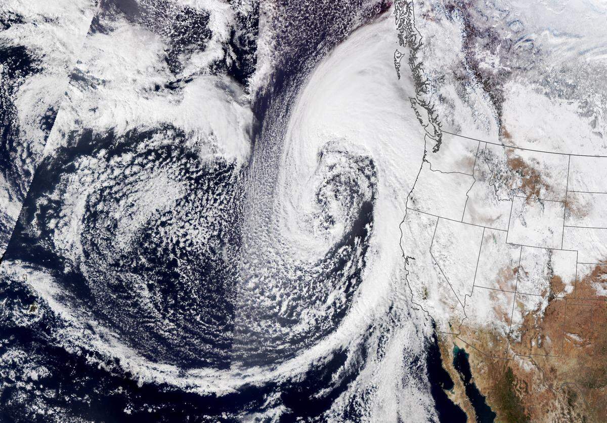
As California strives to better understand these channels of battering rain, warming temperatures promise to make storm and drought spells more volatile. Scientists have shown these flights can improve storm forecasts by 20%, a boon to both emergency preparations and reservoir managers aiming to keep water stores full but not flooded.
When the crew of seven took off from Mather Airport near Rancho Cordova Wednesday morning, the Sacramento region was enjoying a brief reprieve and preparing for the next downpour. After weeks of heavy rains left at least 18 dead and spawned flash floods and mudslides across the state, an accurate forecast is critical — even light showers could touch off fresh flooding.
“This flight and every flight we undertake, the goal is to better forecast where these storms are going to fall,” said DeHart. “We’re trying to give the National Weather Service better data, to give the public better information and help the state better manage their reservoirs.”
Storm science and leftover spaghetti
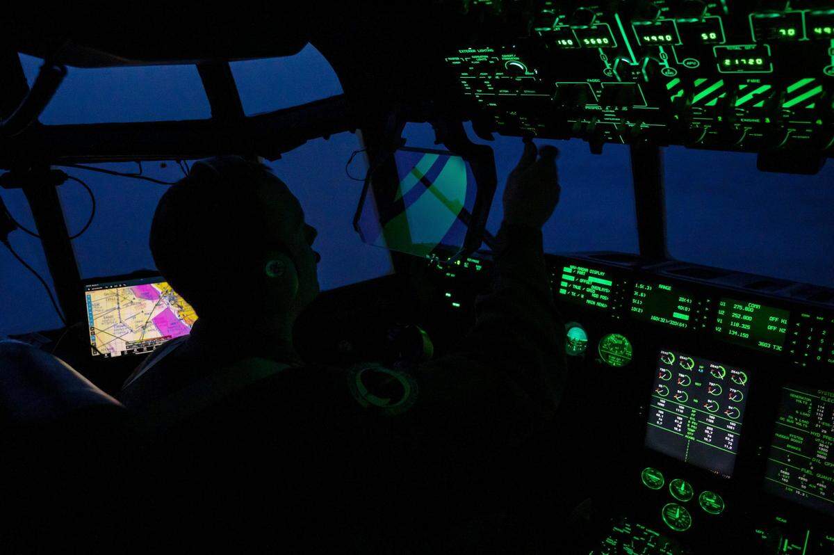
Throughout the past week, crews have taken off in a hulking WC-130J Super Hercules aircraft nearly every day as part of the Scripps Atmospheric River Reconnaissance program. The converted cargo carrier is a flying laboratory, crisscrossing the storm like doctors taking a CT scan.
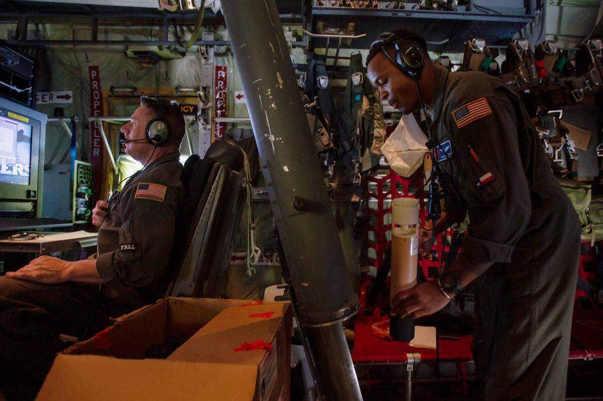
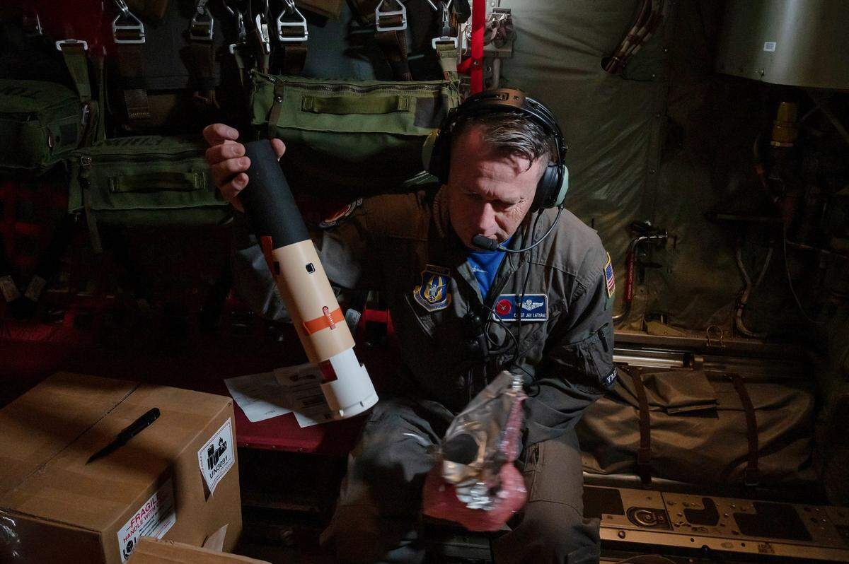
Once in perfect position, the flip of a switch sends slender, 16-inch tubes whooshing out of a chute and into the storm. The probes called dropsondes fall to the ocean equipped with a multitude of sensors and small parachute.
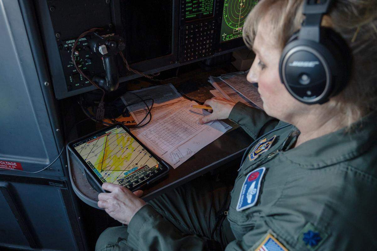
Ten seconds later, a screen in front of the technician begins to display temperature, pressure, vapor and wind data in green, red, and purple. Data are checked, lightly analyzed and sent to the world’s weather data hub and scientists at UC San Diego Scripps Oceanography lab.
Almost instantaneously, the information picked up in flight improves the computer model imitating conditions inside this particular storm — what we see as the weather forecast.
With its bare bones seating and pit toilet, the plane nicknamed ‘Rosie’s Jimmie Rig’ hosted nearly as many journalists as crew members on Wednesday. A long ride on the aircraft underscores why this work is not suited for every weather nerd.
Each flight takes around 10 hours and covers thousands of miles. Earplugs are a must and crew members communicate over the engine cacophony through headsets and radio.
The pre-flight safety briefing included warnings about the oxygen hoods and emergency ditching doors. Stomach churning turbulence regularly strikes, sometimes leaving crew members momentarily airborne.
Between packed lunches of leftover spaghetti, salami sandwiches and frozen burritos, crew members kept sharp by spontaneously dropping into rounds of push ups. A running competition with the alternate crew has them racking up 300 per flight.
Smarter forecasts
Scientists can’t yet pinpoint exactly how Wednesday’s flight improved forecasting for the storm expected to make landfall this weekend. But Marty Ralph, director of Scripps’ Center for Western Weather and Water Extremes, pointed to the last downpour as an example.
“A couple of days back, the original forecast had the [atmospheric river] aiming more in the area north of San Francisco but it ended up hitting more in the Central Coast,” said Ralph. “The shift in that forecast actually happened after we collected data from two aircraft offshore.”
Atmospheric rivers have historically supplied the state with half its water supply, but the study of these storms is relatively new. Ralph and his colleagues pioneered it over the last two decades.
The term was coined in 1998, the same year scientists were able to see satellite images of atmospheric water vapor for the first time. They lack names like their hurricane counterparts, but Ralph helped establish a 1-5 ranking system to help the public know what to expect — the upcoming storm is forecast at a 3, considered moderate.
Hurricane hunter flights not only improve short term predictions, but help researchers understand longer term behavior of these concentrated streams of water vapor in the atmosphere. Flight data leads to better computer models that simulate the storms with less error, said state climatologist Mike Anderson.
“We went from learning that they exist in 1998, to 2023 when we have a whole program built around understanding them,” said Anderson. “This has just been something that takes time to work through.”
Researchers are now deploying buoys on the ocean and working with agencies like the Department of Water Resources and Bureau of Reclamation to make smarter decisions about managing water supply amid a record drought spell.
With better forecasts, said Ellen Hanak director of the Public Policy Institute’s Water Policy Center, “You can know whether or not to release water from a reservoir to prepare for the possibility of flooding, or whether you can leave water inside. That’s especially useful when we think about saving water in times where no storms are coming.”
On Wednesday afternoon at the Scripps lab, field research manager Anna Wilson was the person watching storm data come in live from the hurricane hunters flight. She may not have been popping champagne just then, but she understood exactly what officer DeHart meant.
“When you’re seeing observations that the model didn’t already know, it’s very, very exciting and really, really cool to watch. I’d definitely go with the champagne analogy,” she said. “You feel like you’re really making a difference.”
This story was originally published January 13, 2023 at 1:16 PM.