Heading to ski in the Sierra? Here’s when you should leave Sacramento to beat the storm
Anyone hoping to head to the mountains for the weekend, this is your last call.
The impending storm that will douse Northern California with rain and bring up to 3 feet of snow to much of the Sierra Nevada range won’t start to take hold until late afternoon or early evening Friday, the latest weather forecasts show.
The bulk of rain will reach the Sacramento area at about 4 p.m., and heavy snow won’t begin in Tahoe until closer to 7 p.m., National Weather Service radar forecasts show. A winter storm warning officially begins at 4 p.m. and will stay in effect through 1 p.m. Sunday.
So if you’re in Sacramento and have your heart set on weathering the storm at a Tahoe-area ski resort, it would be wise to start that drive well before noon. And it could still be risky: one unanticipated traffic jam could cascade into serious delays.
Latest doppler radar loop for Northern California
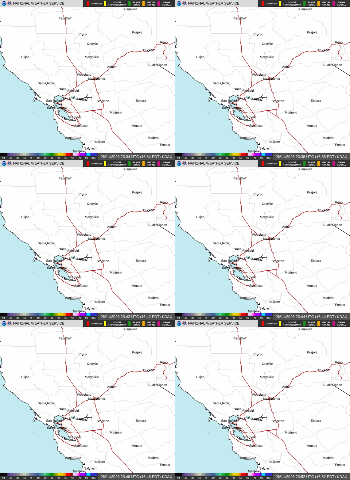
The weather system blowing in from the coast comes via another atmospheric river. This one could drop between 1 and 2 inches of rain on Sacramento from Friday evening through Sunday, as well as 1 to 3 feet of snow across the Sierra range, mostly at elevations above 7,000 feet, but with lighter snow falling as low as 5,000 feet.
Here’s a rough timeline for this weekend’s storm, based on the latest NWS forecast information, including information for the best mountain travel times.
Friday morning, early afternoon: Dry and clear, mostly
The storm system is currently lingering in the north coastal area, and should stay mostly west of the Sacramento Valley until about 1 p.m.
Moderate rainfall should hit the north valley first, reaching places like Chico and Marysville at least an hour before descending upon the capital region. Less than 1/10-inch of rain is expected for Sacramento before 4 p.m.
It’ll be sunny and cold near Lake Tahoe. As of 6:30 a.m., South Lake Tahoe was 21 degrees; it’ll warm up to a high of 43 degrees by early afternoon. Temperatures will follow a similar trend near Tahoe City on the north side.
Late Friday morning, the NWS issued a flash food watch for burn scars for recent Northern California wildfires, including the Camp Fire in Butte County; the Carr Fire in Shasta County; the Mendocino Complex Fire in Lake County; and the smaller Delta and Hirz fires at the Shasta National Forest. The watch is in place Friday evening through Saturday evening.
The burn scars, amid heavy rain, could create mudslides or debris flows. Rains are expected to be heaviest near the Camp Fire burn scar between 9 a.m. and 3 p.m. Saturday. The other four scars are vulnerable during that period and from 5 p.m. to midnight Friday.
Evening: Rain and wind hit valley, snow begins
By about 4 p.m., the storm system will have made its way over the bulk of the Sacramento Valley, dropping significant rain accompanied by strong wind gusts.
The NWS now says some parts of the valley could get gusts near 50 mph. In Sacramento, gusts could exceed 35 mph by Friday night.
Mountain snow will hit fast and hard by late afternoon, the NWS predicts.
The weather service is highly discouraging travel after 4 p.m., when chain controls, road closures and “near white out conditions” will start to become possible. Snow will fall as low as 6,000 feet, including at the Donner Summit and Echo and Carson passes.
Sacramento could get up to about half an inch of rain between 4 p.m. and midnight. Temperatures won’t be too cold, though, dropping to a low of about 56 degrees overnight.
The immediate Tahoe area won’t see much snow accumulation Friday night, if any. As the NWS Reno office explained in a tweet, the South Lake Tahoe is in what’s called the “boom-bust zone,” where it could get just rain, a mix or rain and snow, or just snow. As such, South Lake Tahoe could get anywhere from 0 to 8 inches of snow between Friday evening and Sunday morning, but there will definitely be precipitation in some form.
Saturday: Worst mountain travel day, rain and snow continue
Heavy mountain snow will continue at the summit, down to elevations of about 5,500 feet, for most of the day.
The NWS says to expect “major mountain travel impacts all day,” and advises not to attempt traversing the Sierra on Saturday. Sunday and Monday will both be much better travel days.
Rain will pound the valley Saturday morning, and gusty winds will also continue, exceeding 30 mph in parts of the valley.
Sacramento could get another half-inch of rain during the day, and thunderstorms will also become possible. There could be an evening lull in the rain. Forecasts show precipitation easing from “rain” in the morning to “showers” by early evening in Sacramento, but it should start to fall harder again around 10 p.m., according to the NWS.
In all, an inch or so of rain could fall Saturday near the capital, absent thunderstorms, which would increase the precipitation total. The city will see a high of about 61 degrees and a nighttime low of 50 degrees.
Sunday: Storm eases up, mountain travel improves
Travel impacts will be moderate Sunday morning and minor by the afternoon and evening, forecasts show. Mountain snow will continue, but at a lighter rate and with less accumulation.
Some of the chain controls likely to go into place along Interstate 80 and Highway 50 starting Friday or Saturday may start getting lifted sometime midday Sunday.
Rain will likewise continue to ease, but there will be a chance of showers most of the day for Sacramento. Another round of thunderstorms is also possible, most likely between about 10 a.m. and 4 p.m. The sun could peek through by the afternoon or evening, and wind will be tame compared with Friday and Saturday nights’ expected gusts.
Mountain travel could be manageable, but may still be slow going, so it’ll be best to allow plenty of time and allow for some delays if you’re heading back from Tahoe on Sunday.
Though precipitation will ease up, nighttime lows will dip - a high near 60 degrees during the day will give way to a low of 42 degrees in Sacramento. South Lake Tahoe will get overnight lows near 16 degrees, so bundle up if you’re there.
Monday: Storm ends, clear skies
Rain and snow from the atmospheric river system should clear out of Northern California by the start of Monday.
If you took a sick day from work, this will be the best travel day to return from the mountains: it’ll be mostly sunny there and in the valley, and the rain and snow should have stopped.
Latest visible satellite loop for West Coast

This story was originally published December 6, 2019 at 7:38 AM.