Thick fog slows Sacramento area commutes. Will Christmas be dry or full of rain?
Sunday’s heavy rain has subsided, but thick fog developed across the Sacramento area early Monday morning.
The National Weather Service is advising commuters to allow time for delays after Caltrans traffic cameras showed fog on Highway 50, Interstate 80 and Interstate 5 just before 5 a.m.
A dense fog advisory is in place for a large portion of the Central Valley until 10 a.m., and the NWS warns that visibility can range from near-zero to a quarter-mile locally, with sudden changes in visibility possible along highways. As of 7 a.m. live traffic cameras showed visibility had improved in the Sacramento area, but fog could still be seen on Highway 50 near Rancho Cordova.
Rain is not in Sacramento’s forecast Monday, but there’s a decent chance of showers for Christmas Eve and Christmas. Each day is expected to stay cloudy with roughly a 50 percent chance of precipitation, most likely between 10 p.m. Tuesday and 4 p.m. Wednesday. Patchy fog is also expected again Tuesday morning, NWS forecasts show.
High temperatures for Sacramento will stay in the low- to mid-50s all week, with nighttime lows near 40 degrees.
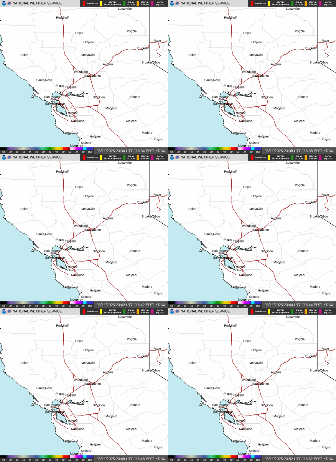
Latest doppler radar loop for Northern California
A white Christmas?
It’s not a dream: After a weekend winter storm, lighter snow showers are forecast to continue in the Sierra Nevada mountains for most of the week.
About 9 more inches of snow could fall above 9,000 feet Monday, with 3 to 6 inches possible between 5,000 and 6,000 feet, according to a NWS winter weather advisory in effect through 10 p.m. for the central and southern Sierra range.
Mountain travelers should expect chain controls and moderate delays in the mountains.
The Tahoe area should see high temperatures right around 32 degrees and lows in the teens through at least Friday. South Lake Tahoe is predicted to get less than an inch of new snow on Christmas Day.
How much did it rain Sunday?
The station at Sacramento Executive Airport measured 0.61 inches of rain Sunday, pushing this month’s total past 4 inches. Sacramento’s normal December precipitation total is about 3.25 inches.
The wet month comes after an extended dry spell for the region, which got less than an inch between late May and the end of November.
A weekend storm Initially forecast to hit interior Northern California hardest Saturday shifted, bringing the bulk of rain, snow and gusty winds Sunday.
The NWS recorded gusts above 60 mph in the Tahoe area and as high as 83 mph at Mammoth Mountain on Sunday.
This story was originally published December 23, 2019 at 7:48 AM.