Atmospheric river brought record rainfall to Sacramento. More showers yet to come
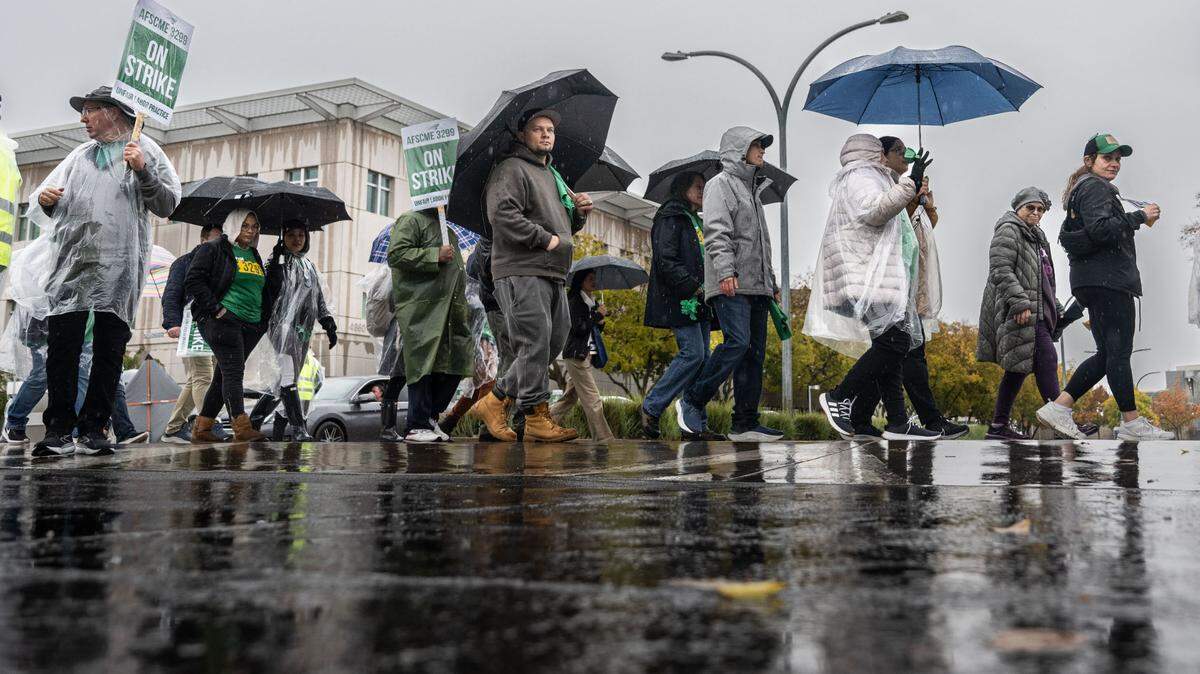
The Sacramento region was doused with record rainfall this week, and while the worst downpours may have passed, the area will see scattered showers and, potentially, thunderstorms over the next few days.
The first heavy storm of the season was caused by an atmospheric river that formed over the Pacific, drenching Sacramento Friday with more rainfall than it typically sees in the entire month of November. The National Weather Service said 1.96 inches of rain fell Friday at Sacramento Executive Airport, more than doubling the previous Nov. 22 record of 0.86 inches, set in 1978. Sacramento’s average for all of November is 1.86 inches, weather service records show.
“The brunt of the rain has ended,” Dakari Anderson, a meteorologist with the weather service’s Sacramento office, said Saturday morning.
Lingering showers were expected throughout the day Saturday. The agency said there were chances of isolated thunderstorms into the evening, which could bring gusty winds and heavy, localized showers.
Anderson encouraged residents to monitor the forecasts.
“Things now are becoming more scattered,” Anderson said. “So it will become pretty variable, depending on where you are, if you’re going to be adversely impacted in terms of travel.”
The weather service issued a winter storm warning for much of the Sierra Nevada mountains on Friday. It is set to remain in place into late afternoon Tuesday, though the heaviest snowfall had likely arrived from Friday night into Saturday morning, forecasters said.
Forecasters expected the storm to drop 1 to 4 feet of snow in the mountains for elevations between 4,500 and 5,500 feet, with up to 5 feet of snow possible at higher peaks. The UC Berkeley Central Sierra Snow Lab, located at Donner Pass, said Saturday morning that it recorded a foot of snow Friday, bringing its seven-day total to about 33 inches, with up to 14 additional inches possible through Tuesday.
Light to moderate snowfall was expected through Tuesday evening, with another period of heavier snowfall from Monday afternoon into Tuesday morning, Anderson said.
With gusty winds and heavy snow expected, travel is discouraged. Travelers should keep emergency kits, Anderson said, allow extra time for travel and check conditions often on the Caltrans QuickMaps website.
This story was originally published November 23, 2024 at 11:23 AM.