‘Unsettled weather’ brings storms to Northern California. How long will it rain?
Weather across Northern California has taken a dramatic turn in recent days, shifting from near triple-digit heat to thunderstorms.
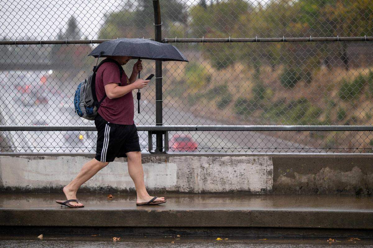
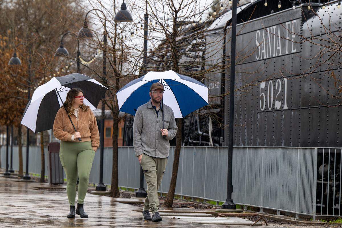
After a recent bout of hot weather, an “unsettled weather” pattern has moved into the region, bringing cloudy skies, scattered rain showers and thunder to parts of Northern California, including Sacramento and Modesto.
“A low pressure system moving across California is causing the stormy weather,” the National Weather Service wrote in a statement to The Sacramento Bee.
How long will stormy conditions last?
Here’s what the National Weather Service said Northern California residents can expect in the days ahead:
How long will it rain in Northern California?
According to the National Weather Service, rain chances are expected to taper off Friday, May 29, with warmer and drier weather gradually returning to Northern California and the Valley through the weekend and into next week.
“For the mountains, there will be lingering shower and thunderstorm chances through the weekend,” the National Weather Service said.
Could El Niño affect summer weather in California?
There is about an 80% chance that an El Niño weather pattern could develop this summer.
Dan Collins, a meteorologist with the Climate Prediction Center, previously told The Bee that El Niño usually has limited effects on California weather during the summer months.
“Significant impacts of an El Niño are more likely in autumn and winter, when El Niño years are more likely to experience increased precipitation and cooler temperatures in the south, while less-than-average precipitation and warmer-than-average temperatures are more likely in the north,” Collins said.
Meteorologists also said monsoon moisture from the desert could bring additional thunderstorms later this summer.
“During the summer, we can still have systems moving through or a push of monsoonal moisture,” the National Weather Service said.
Are more California storms possible this summer?
While widespread summer storms are less common in California, the National Weather Service said, they are “not all that uncommon.”
The Climate Prediction Center’s seasonal precipitation outlook currently shows “equal chances” of above-normal, near-normal or below-normal precipitation levels for June, July and August.
“We typically don’t receive much precipitation across the state during those months but can see periods of mountain showers and thunderstorms if enough monsoon moisture pushes north,” Courtney Carpenter, a meteorologist with the National Weather Service, said.
Carpenter said meteorologists will continue monitoring for monsoon moisture moving into the Sierra Nevada.
“These thunderstorms can bring heavy rainfall and potential flooding issues with them, but sometimes lack moisture and bring dry lightning, which can cause potential wildfire starts,” Carpenter said.
What’s next for Northern California weather?
The Climate Prediction Center is forecasting above-normal temperatures for early June, along with equal chances for wetter or drier conditions.
“Warmer and drier weather is in store for next week with moderate heat risk, with periodically breezy onshore flow bringing some minor late-day and overnight cooling to the Delta vicinity,” the National Weather Service said.
What’s in the forecast for Sacramento?
The National Weather Service’s current seven-day weather forecast for Sacramento shows a slight chance of rain and cooler temperatures before heat returns to the region next week.
Forecasters said there is a 20% chance of showers on Thursday, May 28, with light winds between 3 and 6 mph. Temperatures were expected to reach a high near 74 degrees, with an overnight low around 55 degrees.
By Friday, skies are expected to gradually clear, with sunshine returning and temperatures warming slightly. Friday’s high is forecast to near 76 degrees, with a low around 54.
The National Weather Service said minor heat risk is expected this weekend, with conditions ramping up to a moderate heat risk heading into next week.
Temperatures will heat up on Saturday, with a high near 84 and a low around 56.
Sunday will see a high near 91 and a low of about 59.
By next week, Sacramento can expect high temperatures climbing into the mid-90s.
How long will rain showers last in Modesto?
The weather forecast for Modesto looks similar, with a slight chance of rain Thursday followed by a warming trend through the weekend.
There was a 20% chance of showers on Thursday, with winds of 3 to 7 mph, the National Weather Service said.
Temperatures are expected to top out near 71 degrees, while the low could dip to about 55.
On Friday, Modesto-area residents can expect skies “gradually becoming sunny,” the weather service said. The high will near 78 and the low will be around 55.
Minor heat risk is expected this weekend, with moderate heat possible early next week, according to the National Weather Service.
Temperatures are forecast to climb near 84 degrees on Saturday and 89 on Sunday, with highs potentially reaching the mid-90s by Monday, June 1.