Wet morning in Sacramento as first of two storm systems reaches Northern California
Rain fell at a steady clip early Wednesday in Sacramento, leading to slippery roads and possible delays during morning commute hours. National Weather Service radar forecasts show a round of precipitation that rolled in overnight from the coast should dissipate by about 10 a.m.
Sacramento could get a quarter-inch in the morning, then see a bit of a break before lighter showers return in the late afternoon or evening, forecasts show.
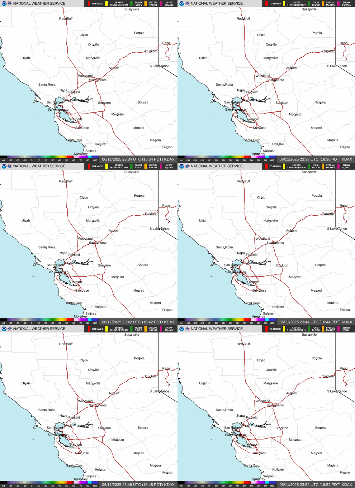
Latest doppler radar loop for Northern California
The capital will have consistent mild daytime temperatures with chilly overnight lows through the weekend, with each day forecast to reach between the mid-50s and 60 degrees before falling to about 45 degrees at night.
Meanwhile, in the Sierra Nevada range, the NWS advised that up to 3 inches of snow could fall as low as 3,000 feet Wednesday, up t0 10 inches could fall above 4,000 feet and some peaks could get close to a foot and a half of fresh powder.
A winter weather advisory is in effect for parts of the northern Sierra and foothills through 10 p.m. Chain controls, reduced visibility and travel delays are possible.
The NWS said the current system is the first of two back-to-back storm systems impacting the region this weekend. The next will be a bit wetter and is on track to reach Northern California by about Saturday.