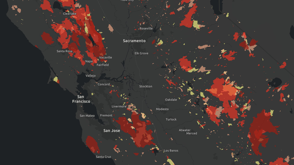
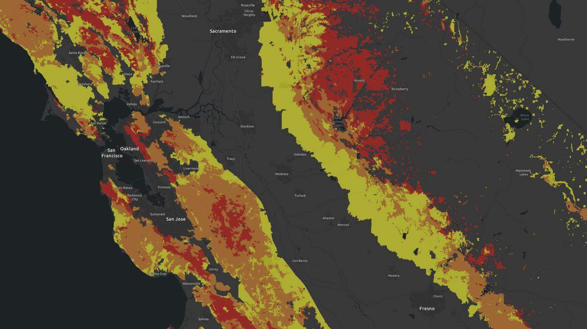
When did the forest near you last burn? Map shows 30 years of California wildfires
READ MORE
California Wildfires: More Coverage
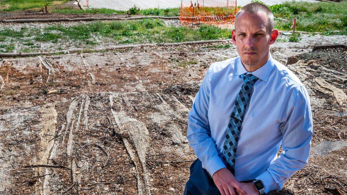
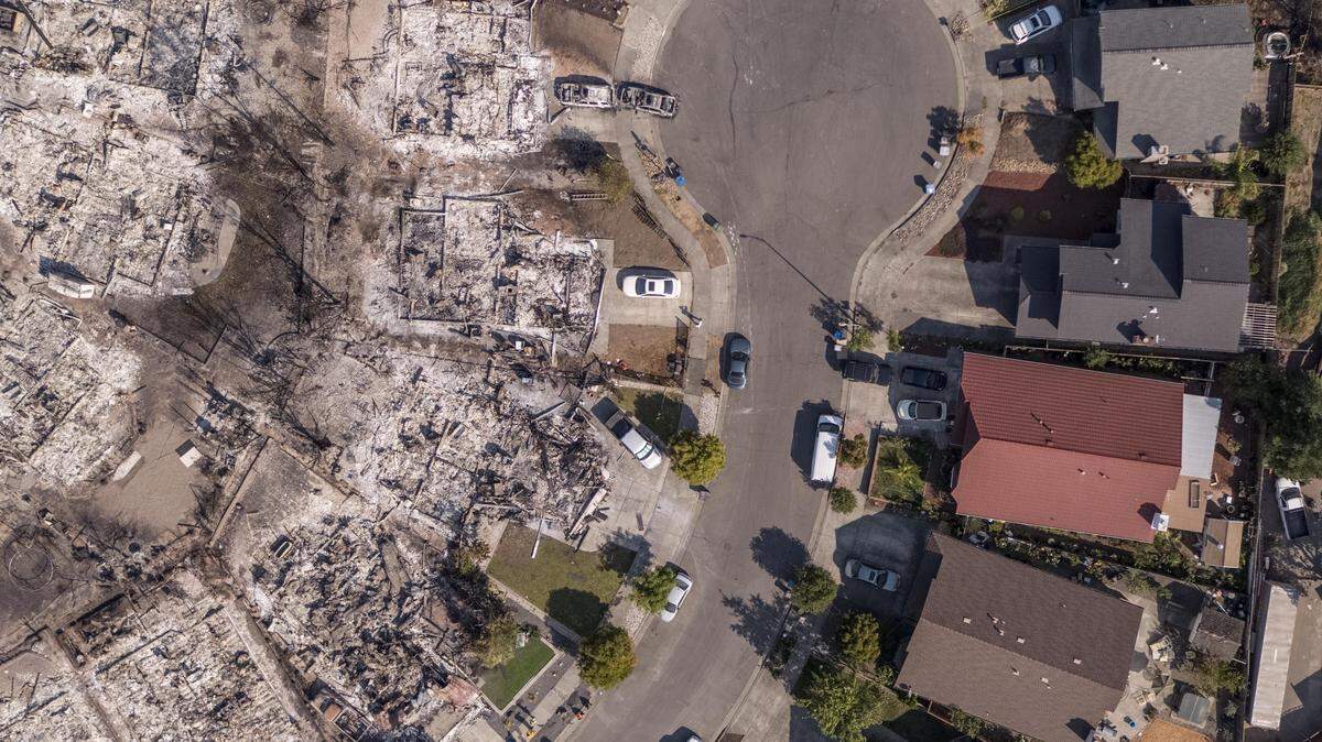
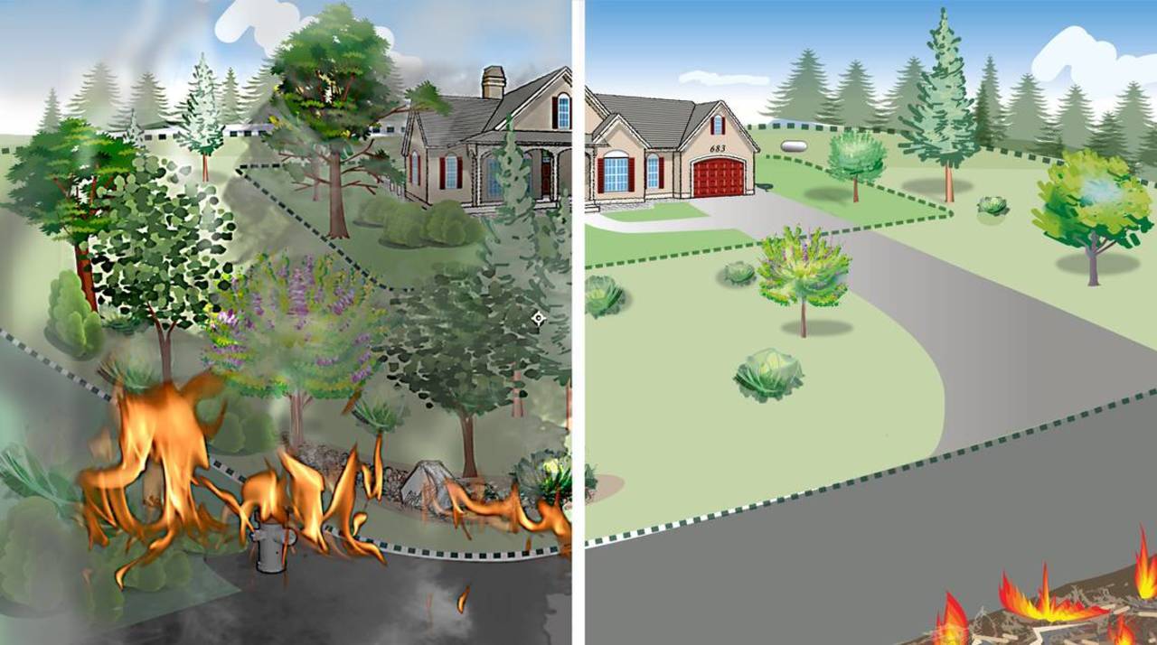
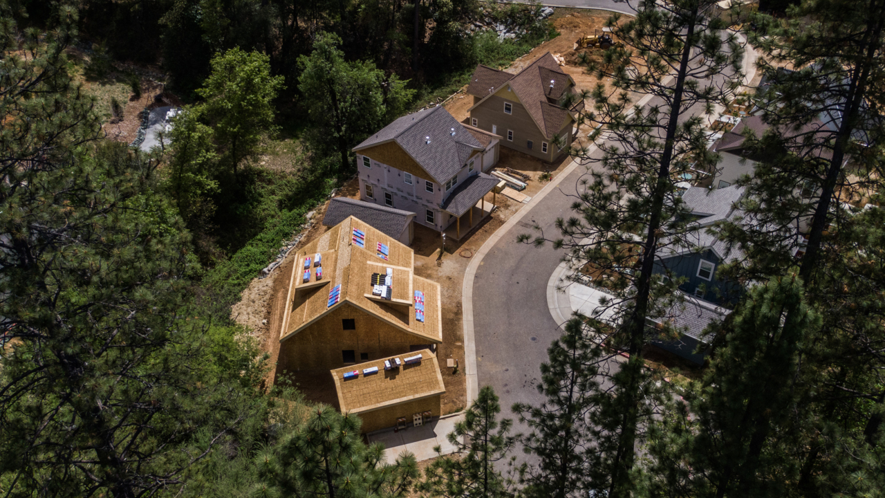
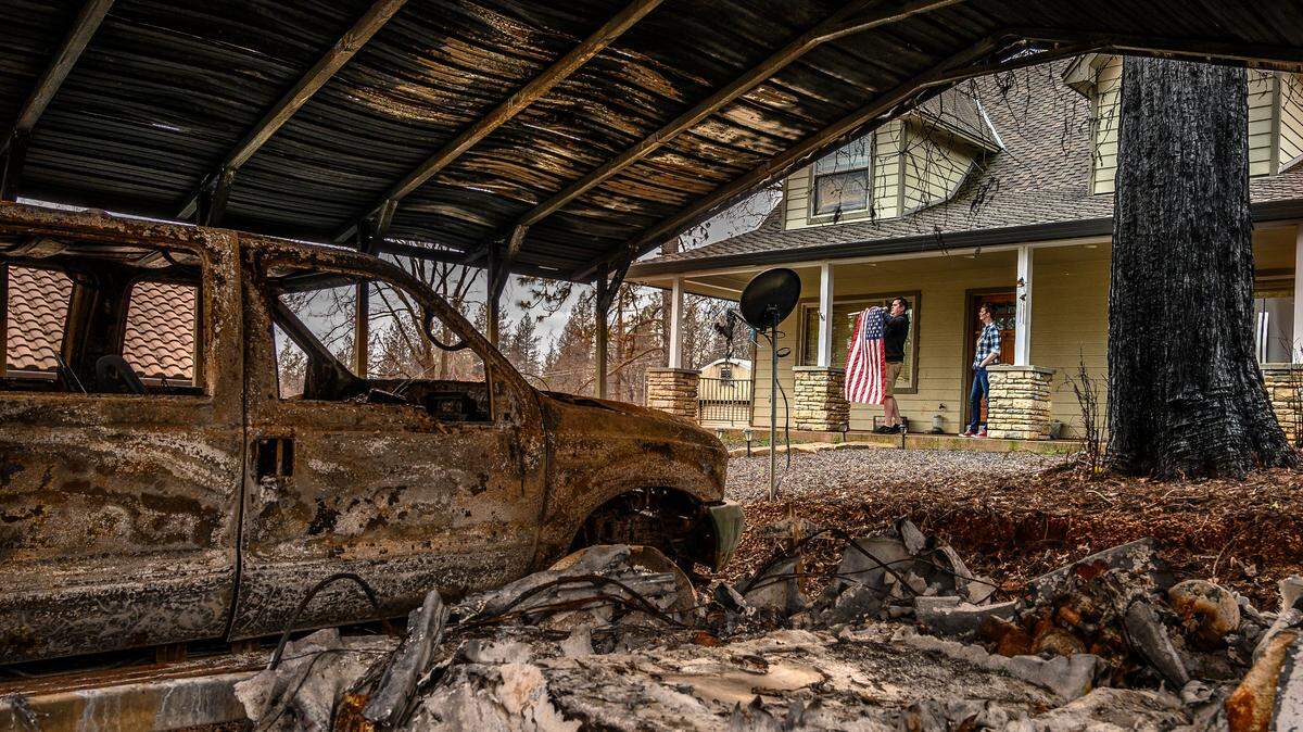
Over 2.7 million Californians live in very high wildfire hazard zones. Here’s what you need to know to prepare for wildfires, and why California still builds houses in these danger zones.
Expand All
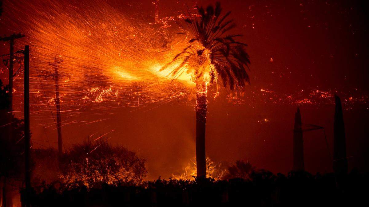
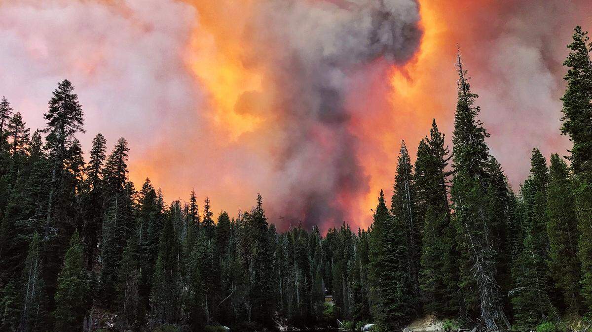
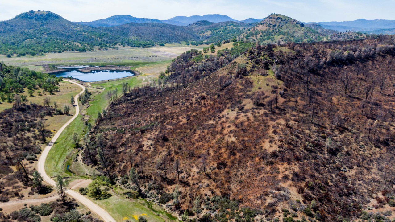
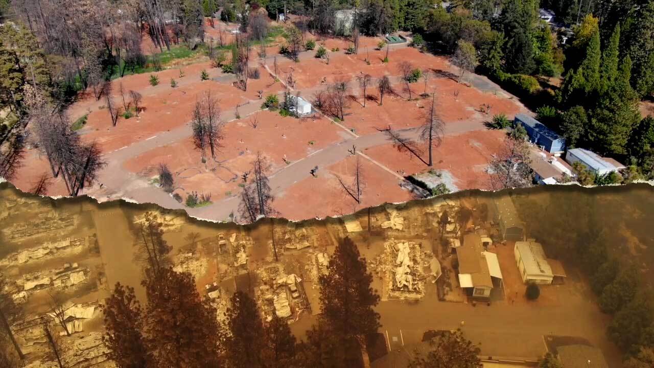
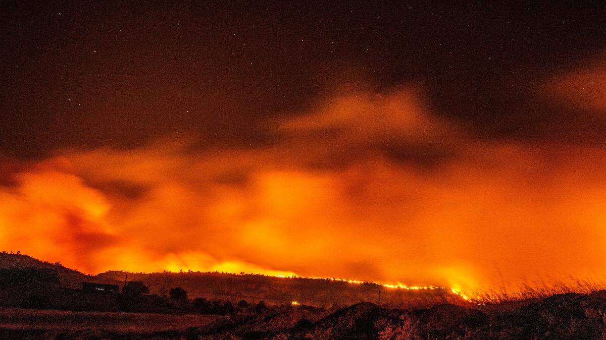
A record 4.2 million acres were burned by wildfires in California in 2020. That’s more than five times the average amount over the past 30 years — 767,000 acres.
Of the 20 largest wildfires in state history, six occurred in August or September 2020: the August Complex, the SCU Lightning Complex, the Creek Fire, the LNU Lightning Complex, the North Complex and the SQF Complex.
Cal Fire keeps detailed maps of fire history, in part because the lower-fuel areas can be used to help combat future wildfires strategically. See the wildfires map below.
More:
- Get latest updates on wildfires this season. Sign up for our newsletter.
Build, burn, build again. Why California is still constructing homes in wildfire red zones
- Wildfire season in Northern California. Here’s how to be prepared
This story was originally published June 20, 2021 at 5:00 AM.