How low will it snow? Northern California to get more rain and snow after brief break
READ MORE
Northern California Winter Storm
A powerful winter storm that lasted through the holiday weekend has hit Northern California with snow and rain. Here’s the latest weather news.
Expand All
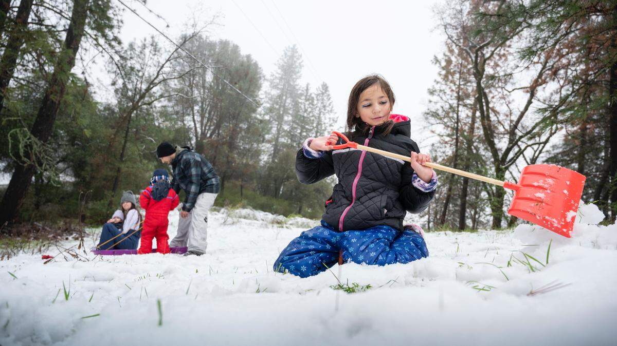
Christmas is over, but there’s still plenty of white.
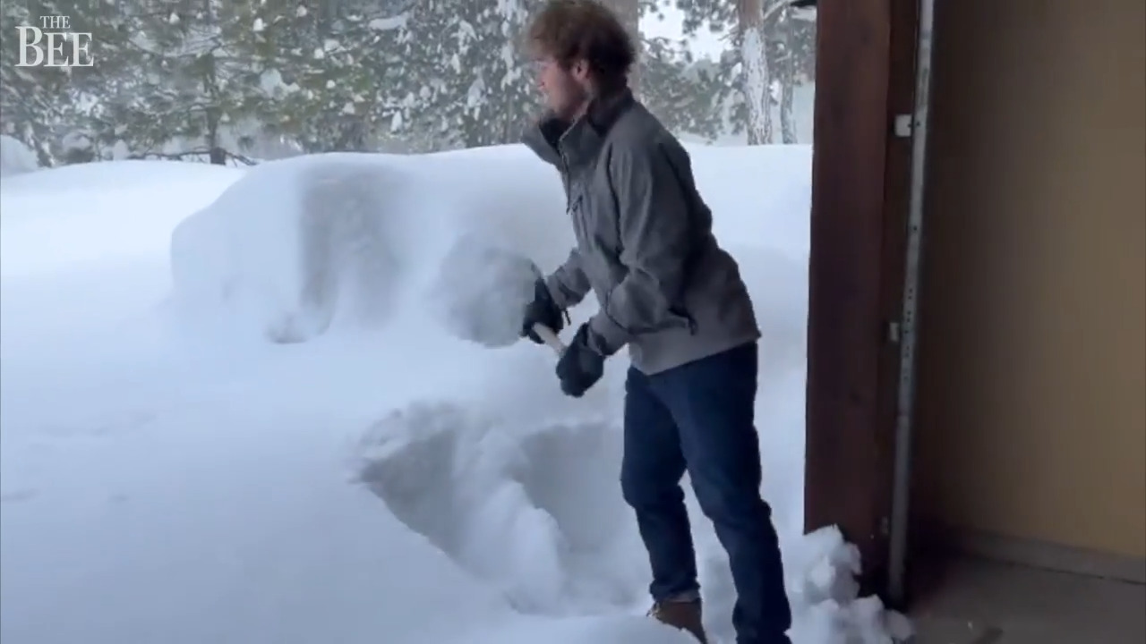
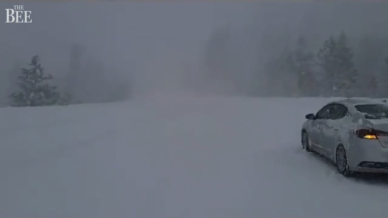
A powerful winter storm that lasted through the holiday weekend could drop close to a foot more of snow across parts of the Sierra Nevada mountains by Monday afternoon or early evening before subsiding, according to the National Weather Service.
The weather service has a winter storm warning in place through 9 p.m. Monday across the entire Sierra Nevada mountain range, with another 3 to 15 inches anticipated. More than 2 feet could fall at higher peaks.
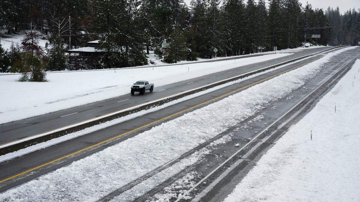
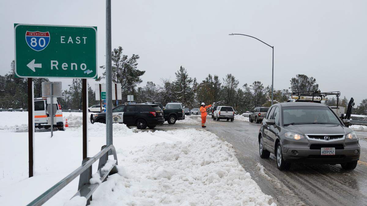
Those amounts will add to several feet of snow that fell over the weekend, prompting long closures on major mountain highways including Highway 50 and Interstate 80 that remained in place Monday morning.
“What we’re telling people basically is to avoid mountain travel,” Idamis Del Valle, a meteorologist with the NWS Sacramento office, said Monday morning.
Wind gusts up to 60 mph are expected in the Truckee and South Lake Tahoe areas Monday, with gusts well over 100 mph possible at the ridges, according to weather service forecasts.
Another round of precipitation is expected Tuesday and Wednesday. Rain will be light, but amid cold temperatures, snow is expected at low elevations.
A few inches of snow will likely fall across the Central Sierra, beginning late Tuesday or early Wednesday.
“It looks like we do have additional snow amounts continuing, but for the most part 2 to 6 inches,” Del Valle said. “This would be through Wednesday afternoon.”

‘Cold air is invading’: Snow will fall at low elevations
Snow accumulation will be light compared to this past weekend, but it will also fall to low elevations. NWS Sacramento tweeted Sunday night that snow levels could drop “to around 1,000 feet, maybe even a little lower, the next few days.” It snowed early Monday morning in Placerville.
Online forecast information from the weather service shows a chance of snow falling in El Dorado Hills, and an outside chance of snow falling in the hills of Folsom. It last snowed in Folsom in December 2009.
“Cold air is invading up north from Canada,” the local weather service office tweeted.
The Sacramento Valley will see wet weather and very cold temperatures continue through at least Wednesday.
The weather service has a freeze watch in place for Sacramento late Monday, with an overnight low of 33 degrees in the forecast. Patchy frost will also be possible Wednesday and Thursday nights as temperatures could dip again to the low 30s.
How much rain and wind?
Del Valle said most of the Sacramento Valley will see between one-tenth and half an inch of rain fall between Monday and Wednesday, with up to an inch possible locally, including near Stockton and Modesto.
Showers will likely clear out later Wednesday but could return to the valley Thursday night or Friday morning, forecasts show.
Del Valle said the gustiest winds likely already hit the valley over the weekend, but local gusts could reach 25 mph Monday.
This story was originally published December 27, 2021 at 8:42 AM.