Here’s what it would take to fill California’s reservoirs and end the drought this winter
READ MORE
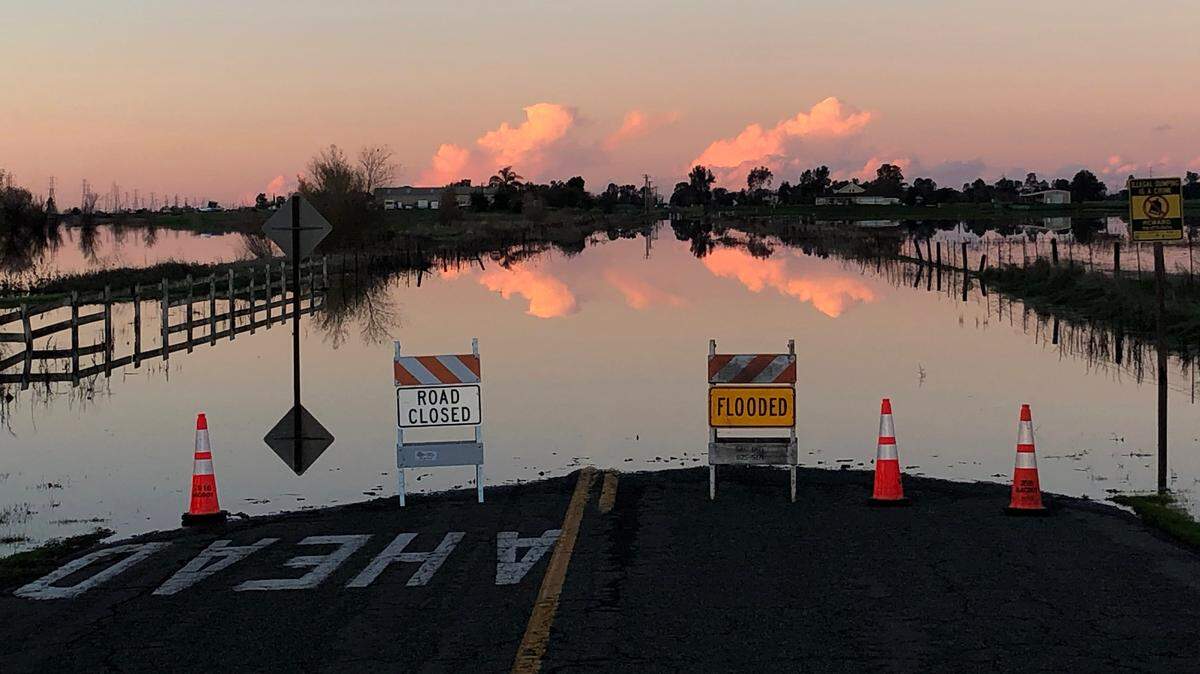
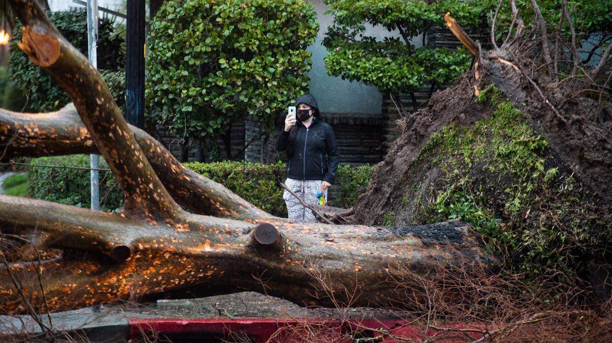
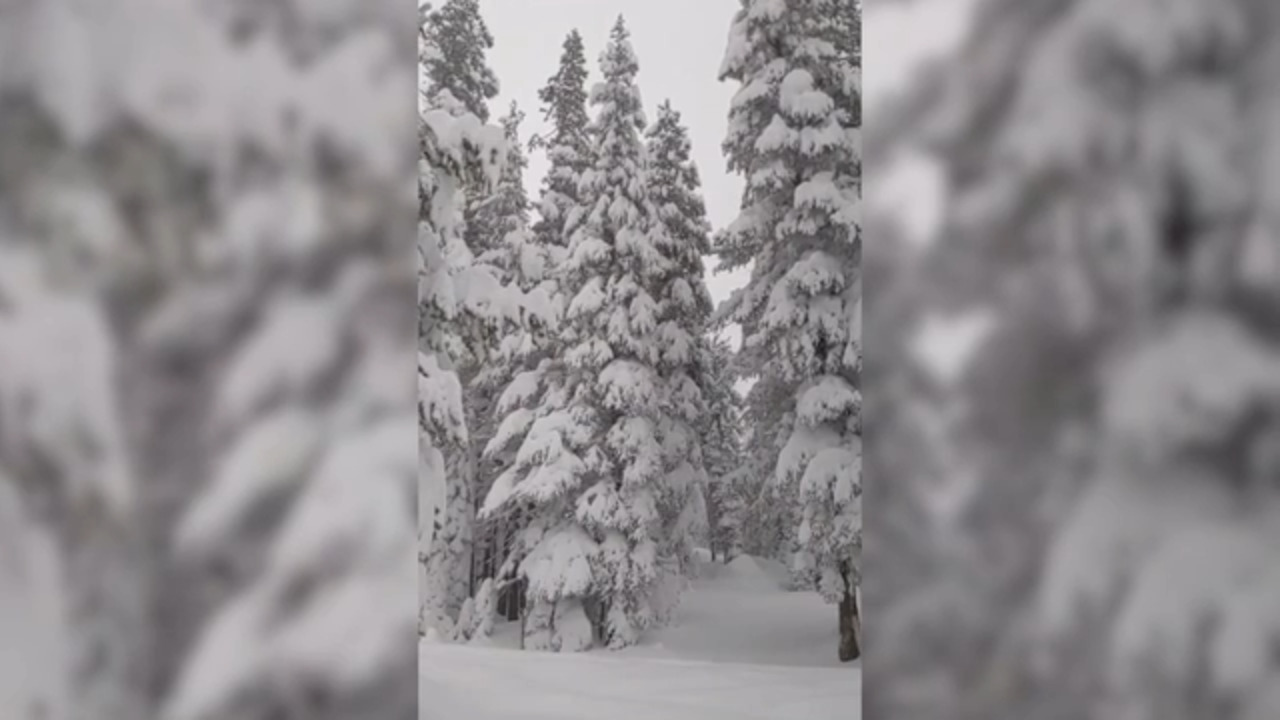
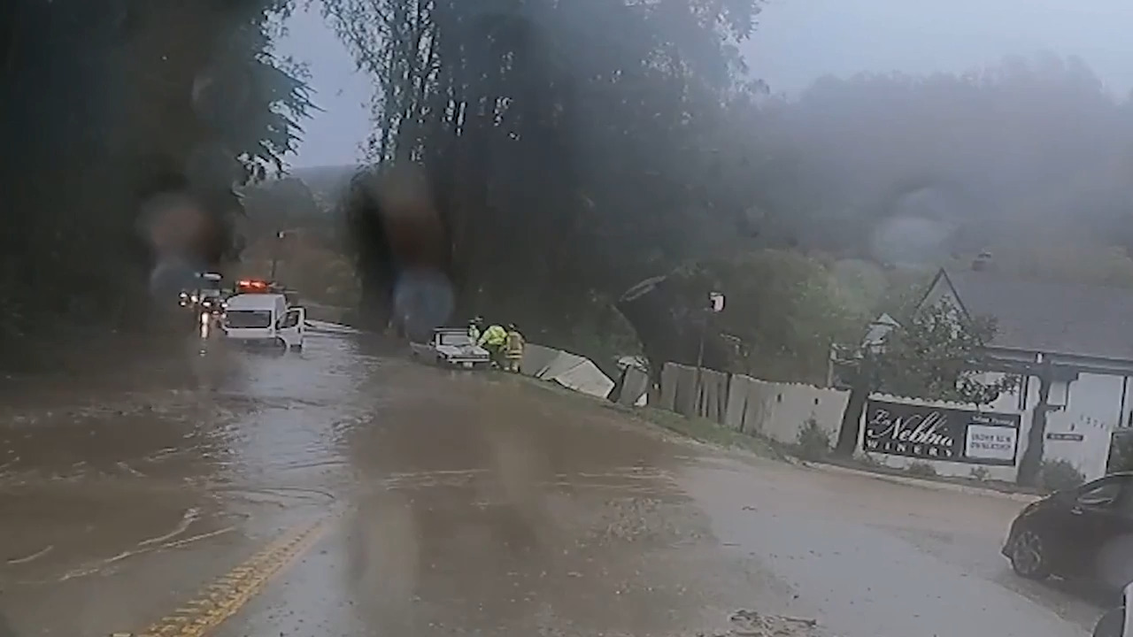
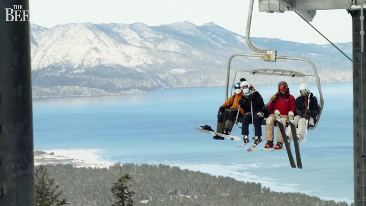
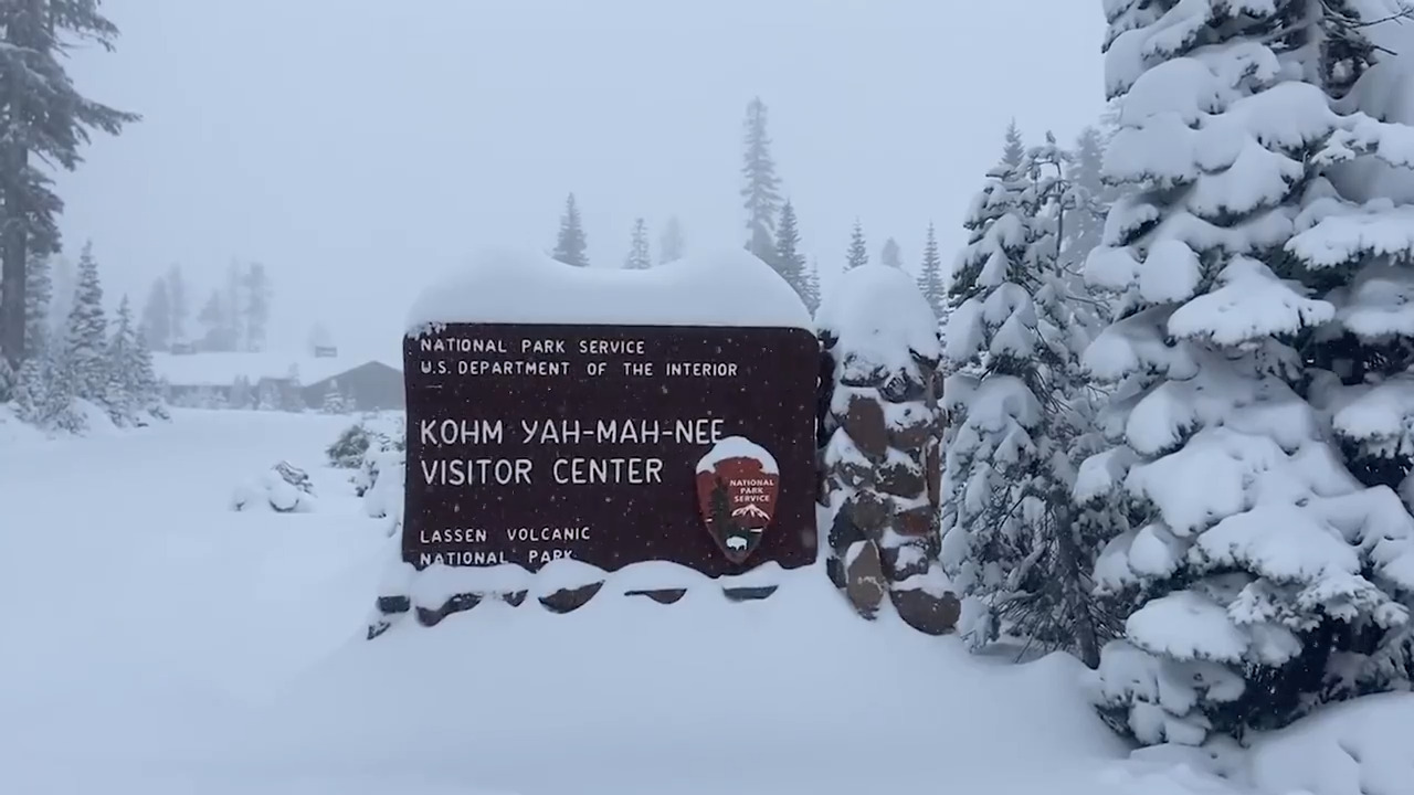
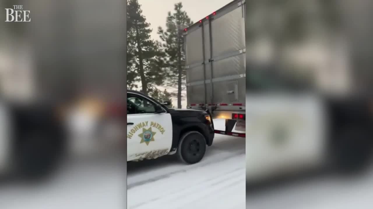
Winter Storm 2021
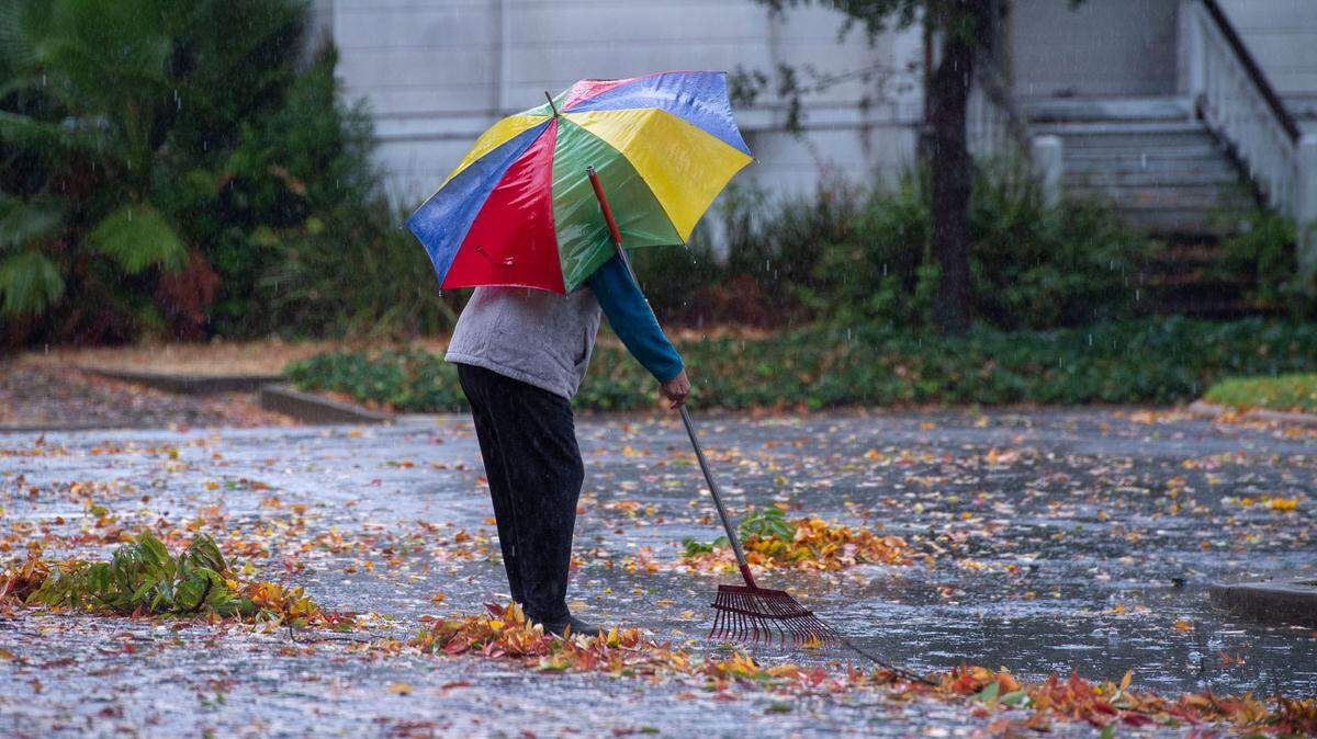
A powerful atmospheric river is delivering widespread rain across the Sacramento Valley and steady snow in the Sierra Nevada. Here’s the latest news.
Expand All
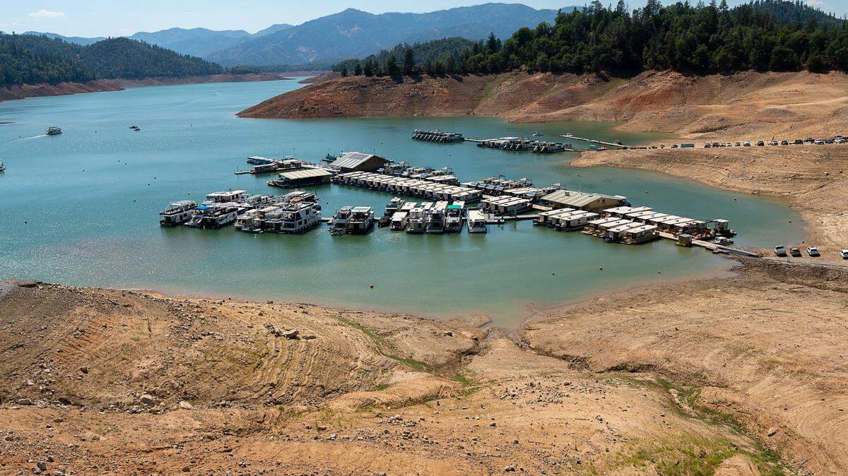
Dire warnings about communities and farms running dry next year. Headlines proclaiming a potentially dry La Niña winter. Reservoirs already so low they look like sets for post-apocalyptic movies.
California seems poised for a continuation of its crippling drought next summer.
And that might well be the case.
It also might flood.
Experts who study California’s weather patterns say it’s too early in the rainy season to make any predictions about the state’s water supply.
They say that even though the water situation appears bleak — and residents and farms could very well be rationing water next summer — there also have been plenty of years when Californians have looked out at low reservoirs at this time in December only to see them full to the brim by spring.
“One way of putting it is that California is a state of extremes, hydrologically speaking, and we often swing from very wet to very dry,” said Jeanine Jones, California’s drought manager for the Department of Water Resources. “That’s just part of our climate system, and it’s also something that we expect to be enhanced by climate change.”
What’s an atmospheric river?
California’s boom-and-bust rainy season is so difficult to predict due to the powerful storms that form in the Pacific Ocean and strike the West Coast.
These storms are known as atmospheric rivers. A “strong”-sized one was forecast to hit the north state beginning late Saturday night and blanket the Sierra with snow through Tuesday.
The storms form when high-powered winds drag a fire hose of tropical moisture across the ocean’s surface.
The 500-mile wide conveyor belts of water can last for days and can hit California in wave after wave. They provide up to half the state’s rain and snowfall each year. The largest storms can produce as much rain as a major hurricane.
The biggest of these storms have played havoc on the state for much of its recorded history, including a relentless 1862 downpour that forced Gov. Leland Stanford to take a rowboat to his Sacramento inauguration.
In the decades since, similar storms have killed dozens of Californians, inflicted billions of dollars in damage, and in 2017, blasted apart the spillways at Oroville Dam, the nation’s tallest. Nearly 200,000 people were evacuated.
They can be drought busters.
The state’s last drought, which spanned five years, officially ended due to the storms that hammered Oroville Dam.
A similar drought in 1977 was busted in just one season.
That year, Shasta Lake, the state’s largest reservoir, was down to 13% of its total capacity — the lowest it’s been since the dam was completed in 1945. By the spring of 1978, the lake was nearly full, thanks to atmospheric rivers.
“The difference between a wet year and some of the wettest years on record and some of the driest years on record, is just a few storms,” said Jay Lund who heads the UC Davis Center for Watershed Sciences.
More precisely, said Jeffrey Mount, a watershed expert at the Public Policy Institute of California, all it usually takes to end a drought is between five to seven storms between Dec. 1 and the end of February.
“And most of our really, really big storms appear close to Christmas and into early February,” Mount said.
Climate change uncertainty
Yet predicting how many atmospheric rivers will form and when they’ll hit in a rainy season is impossible.
While modern weather forecasting has grown much more precise, anything over 14 days still remains a guess, the experts said. That includes whether California and other parts of the Pacific Rim are in a La Niña weather pattern or not.
There is data to suggest that a La Niña does tend to make Southern California drier, but in the north state, where California gets most of its water supply, the data shows up on state hydrology charts as “shotgun-blast-type distribution,” said Jones, the Department of Water Resources drought manager.
Meaning: It’s anyone’s guess whether the coming weeks and months will be wet or dry.
The good news is that the atmospheric river storm that hit Northern California in late October and brought record rainfall to downtown Sacramento helped prime the region for potentially drought-busting storms later.
The storm soaked the drought-parched soil, so that water that falls as rain or snow now will be more likely to drain into the state’s water storage reservoirs instead of soaking into the ground.
Don’t like all this unpredictability? The experts say you’d better get used to it as the climate changes.
One recent study warned of “precipitation whiplash,” in which drought or drought-like conditions will alternate with intensely rainy winters.
Experts say that global warming makes droughts more extreme since it decreases if not outright eliminates the state’s vital snowpack, and higher heat makes soils drier. At the same time, rising temperatures also put more moisture into the atmosphere, making California more prone to floods.
“We may have fewer atmospheric rivers overall,” Jones said, “but the ones that we may have may be a lot wetter.”
This story was originally published December 12, 2021 at 5:00 AM.