Northern California storm: Highway 50 opens after avalanche work; rain, snow will resume
READ MORE
Winter Storm 2021
A powerful atmospheric river is delivering widespread rain across the Sacramento Valley and steady snow in the Sierra Nevada. Here’s the latest news.
Expand All
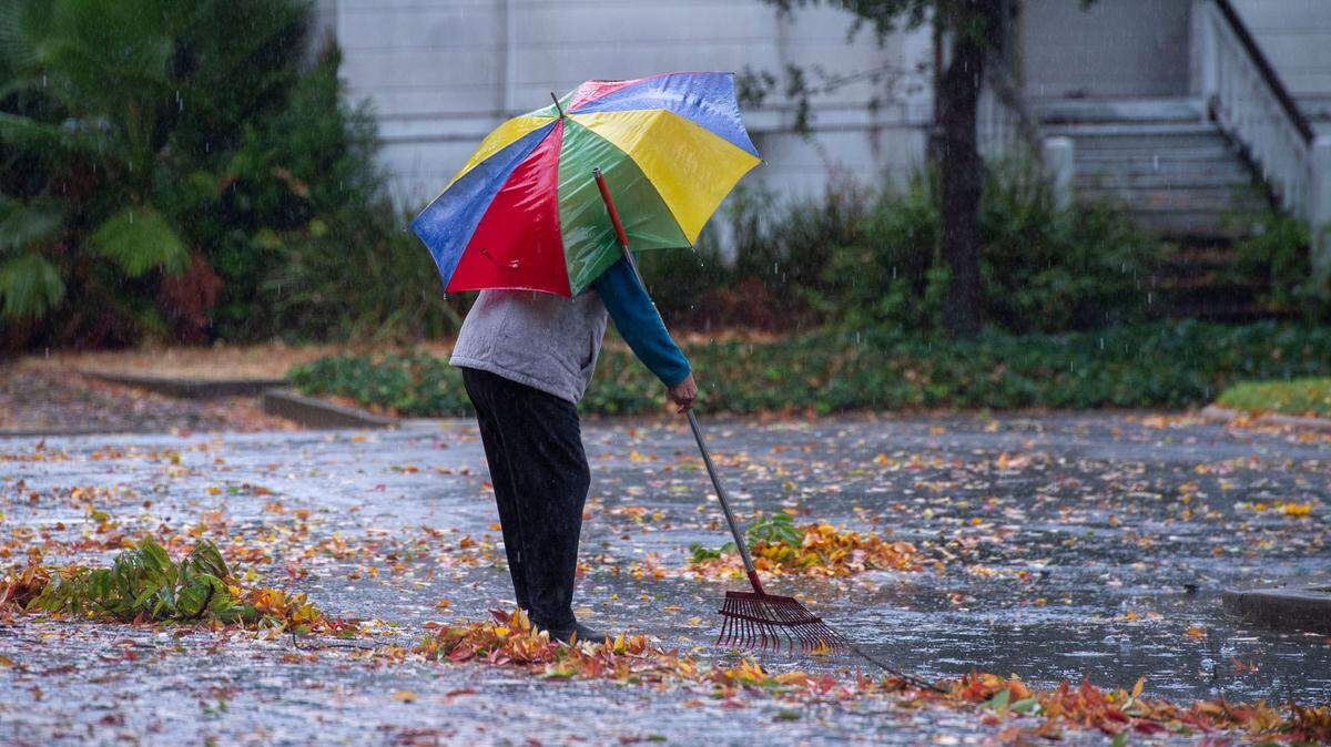
Rain and snow continued across Northern California overnight and early Tuesday morning during a powerful atmospheric river storm, but are forecast to “taper off” by the afternoon. Then, a second storm will bring another round of heavy rain and snow later this week.
Radar forecasts from the National Weather Service show rain may depart the Sacramento Valley around 8 a.m. Tuesday, while snow will keep falling across most of the Sierra Nevada mountains through around noon.
After a dry Tuesday night and some lighter showers Wednesday morning, the weather service predicts heavy rain will return Wednesday night. Sacramento could get an additional inch of rain.
“Basically today, things are gonna continue dwindling down,” weather service meteorologist Anna Wanless said Tuesday morning. “We’re gonna get some isolated rain and snow showers. Then we’ll get into a window of calmer weather.
Wanless said Wednesday’s storm will come in from the north and won’t bring as much rain or snow as the atmospheric river storm, “but it is a little bit colder, so it is going to have some lower snow levels.”
Wanless said light snowfall may be possible in Redding.
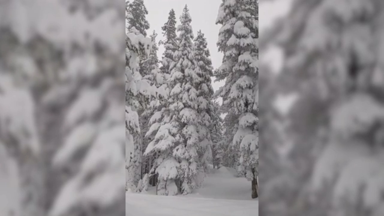
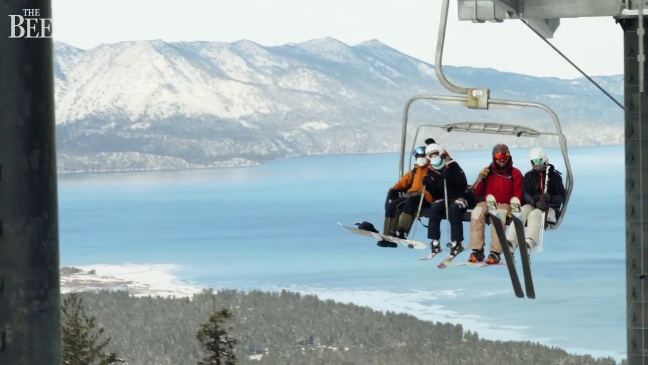
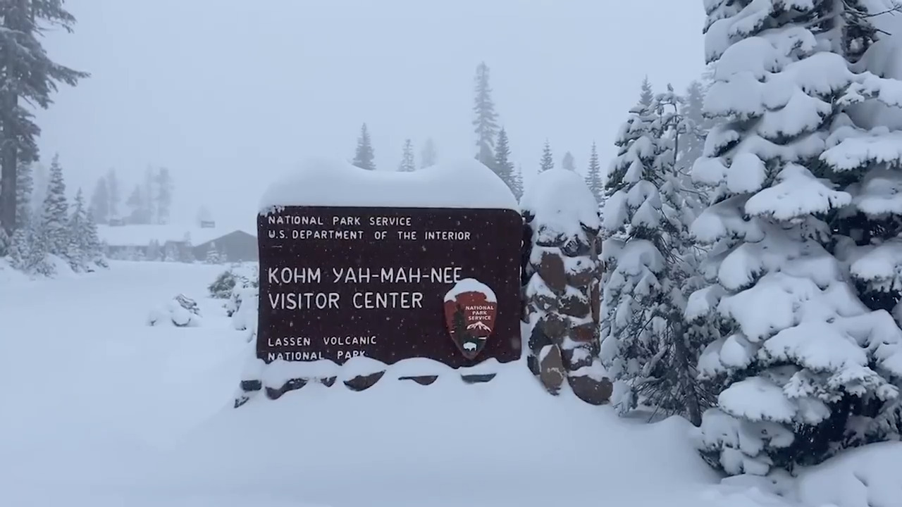
The weather service also added a winter storm watch, advising that between 6 inches and a foot of snow could fall above 7,000 feet between late Wednesday and early Thursday in the greater Lake Tahoe area, with several inches also possible throughout the rest of the Sierra range.
Additionally, Sierra ridges at high elevations could see extremely gusty winds late Wednesday, possibly exceeding 100 mph.
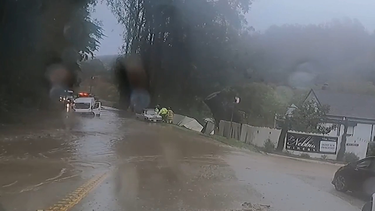
In the Valley and foothills, gusty winds knocked down powers lines and trees, cutting power Monday at various times.
Widespread power outages were reported in the Sacramento area. About 29,000 Sacramento Municipal Utility District customers were without electricity at one point early Monday afternoon. SMUD’s website showed only about 350 without power as of 7:30 a.m. Tuesday.
Wanless said the weather service recorded a gust of 137 mph Monday at Alpine Meadows. The greater Sacramento area saw gusts peak around 50 mph, with the Sacramento Valley topping out at 62 mph near Redding.
“We are expecting some gusty winds (Wednesday), but definitely not up to that level,” Wanless said. “Right now we’re looking at gusts 30 to 35 mph, kind of on the max end. There could be locally higher gusts, especially in those wind-prone areas and up on those ridge tops.”
Traffic impacted by flooding, snow, power lines
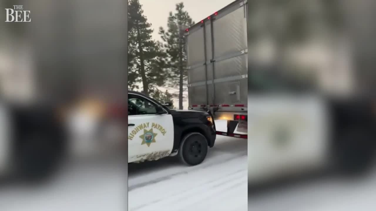
Highway 50 was closed for a couple of hours in El Dorado County due to avalanche control, between about 7:45 and 9:30 a.m. Westbound traffic had been held at Meyers and eastbound traffic is stopped just east of Placerville. Chain controls are in place from Sawmill to Meyers.
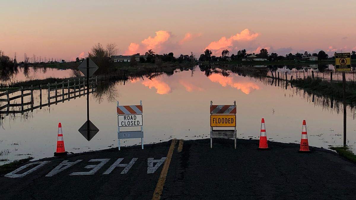
The fast lane of southbound Highway 99 was flooded near the West Stockton Boulevard exit in Elk Grove, California Highway Patrol’s South Sacramento office said in social media posts around 1 p.m. Tuesday, with no estimated time of reopening. Traffic is backed up near Grant Line Road. Drivers may consider using Interstate 5 as a detour, the CHP said.
Monday’s downpour also flooded lanes of Highway 99 near south Sacramento at various times.
Interstate 80, which was closed around 10:30 p.m. near Colfax due to downed power lines, has reopened to passenger vehicles with chain controls in place; big rigs were still being held as of 7:30 a.m.
Mountain travel remains highly discouraged Tuesday morning, with the weather service saying in a tweet there will be a “small window of better conditions” for travel Tuesday afternoon and evening.

Snow showers in Placerville
Snow levels dropped as low as 1,500 feet early Tuesday, giving Placerville a flurry of snow starting shortly before 2 a.m., according to the weather service.
Weather service forecasts show another chance of snow showers will be possible early Wednesday, between 1 a.m. and 4 a.m., as overnight lows dip to about 30 degrees.
“Little or no snow accumulation” is expected, forecasts say.
Sacramento breaks century-old record
Heavy rain on Monday set a new daily record in Sacramento.
The weather service website showed 2.3 inches fell downtown. However, Wanless said Tuesday that there was a clogging problem, and said the downtown station recorded 2.01 inches.
Either way, it broke the previous daily mark of 1.73 inches, set Dec. 13, 1915.
Sacramento Executive Airport recorded 2.51 inches, more than doubling the previous record of 1.19 inches set in 2002.
Sacramento County water officials reported that the Elkhorn East and Scott Road creeks have reached flood levels Wednesday morning. Arcade Creek reached flood monitor levels late Monday but has since fallen as precipitation eased.

This story was originally published December 14, 2021 at 8:06 AM.