Sacramento-area air quality still affected by Caldor Fire. Wind shift could make things worse
READ MORE
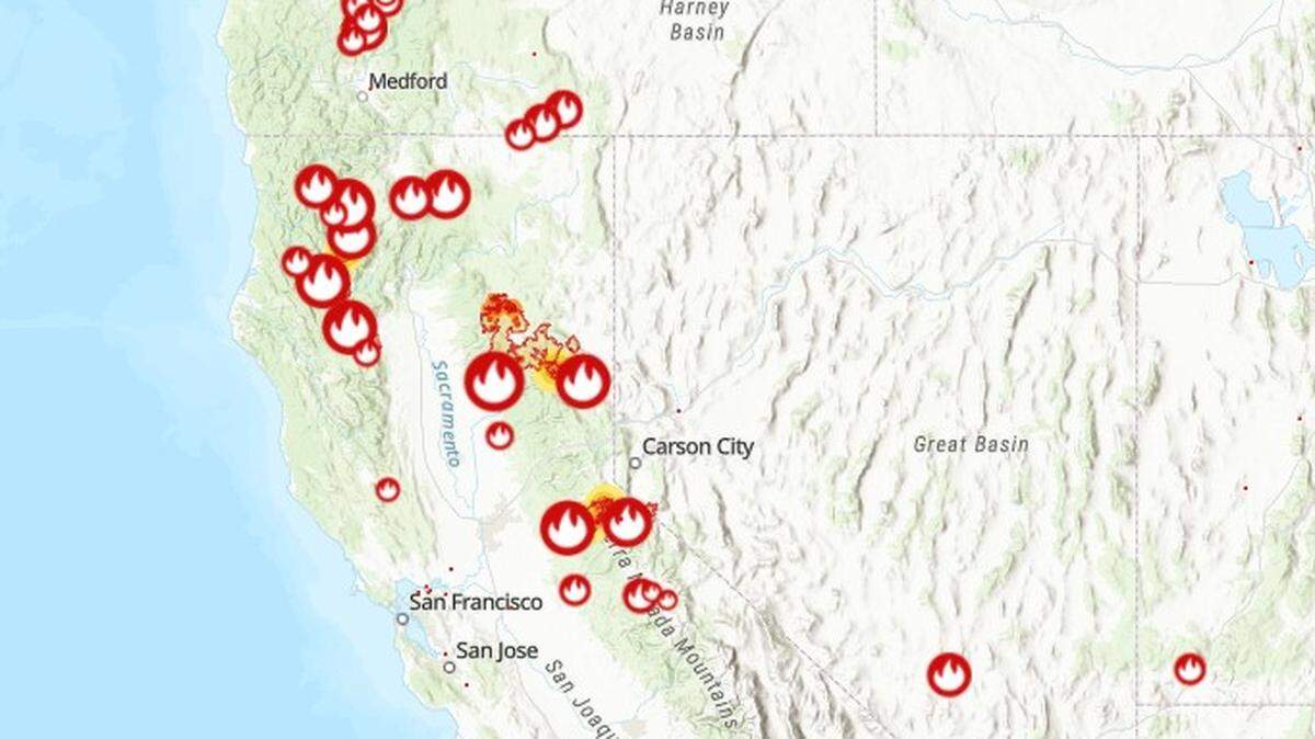
California Wildfires
The latest on the wildfires burning in California. Get updates on the Caldor Fire, Dixie Fire and others, including size, containment, evacuation orders and more.
Expand All
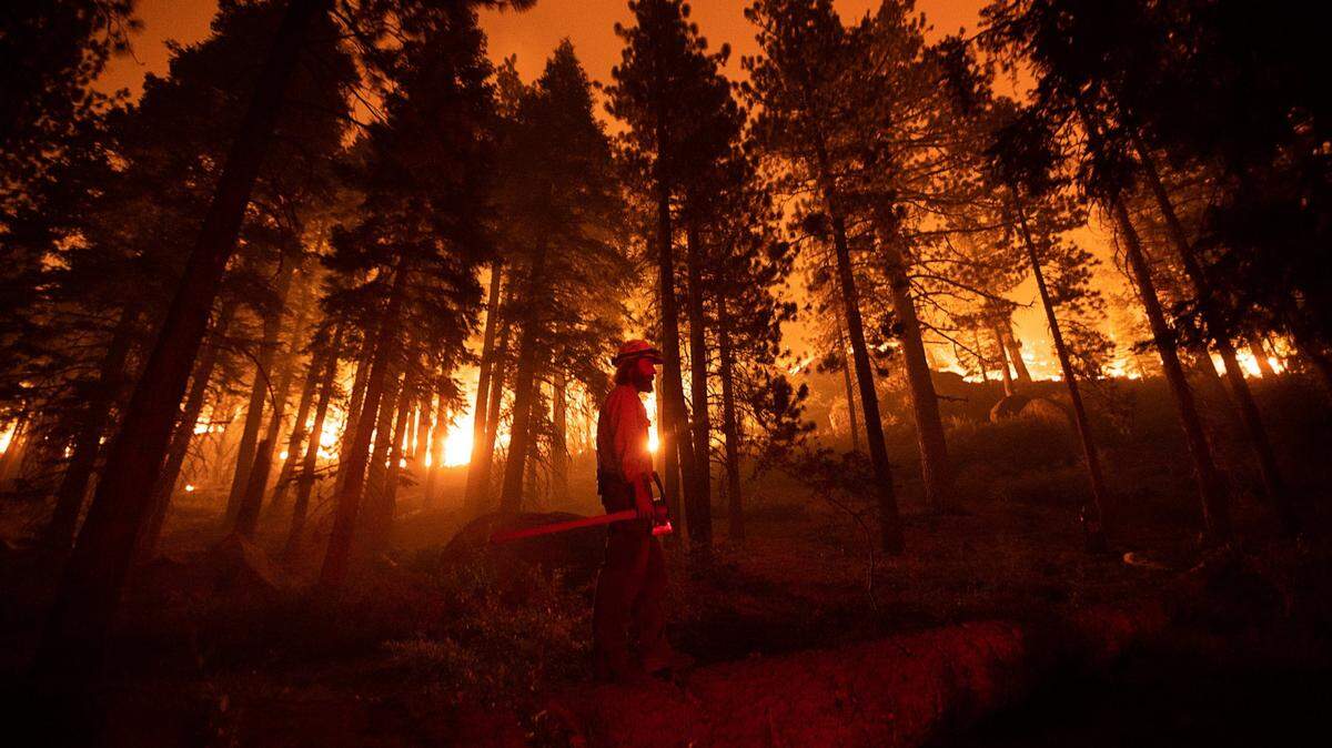
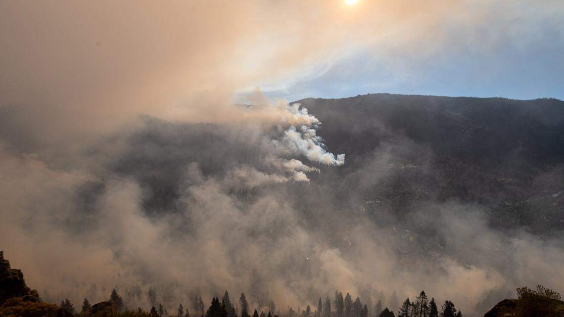
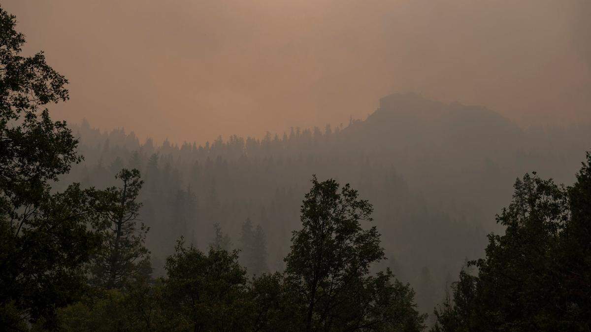
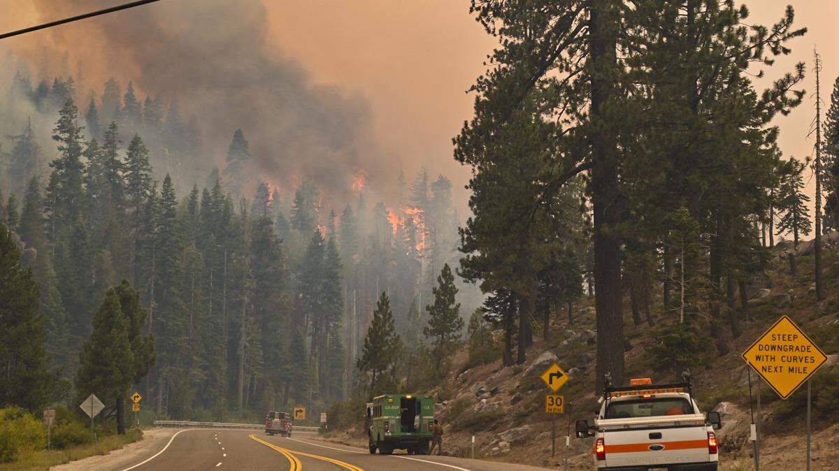
Smoke from the Caldor Fire still isn’t quite clearing in the Sacramento region, and particle levels range from moderate in areas to the west of the fire to unhealthy and even hazardous in the areas just south of Lake Tahoe.
Forecasts suggest air quality will worsen slightly Friday as well. Here’s where air quality index readings are starting Thursday and how they’re expected to change.
Sacramento County
Sacramento, Folsom, Arden Arcade and Elk Grove are all reaching AQI levels in the high 60s Thursday morning, according to AirNow. While highs are forecast to stay in the moderate range Thursday, easterly winds on Friday are forecast to bring in more wildfire smoke into eastern Sacramento County. That may raise readings to the unhealthy levels for sensitive groups.
El Dorado County
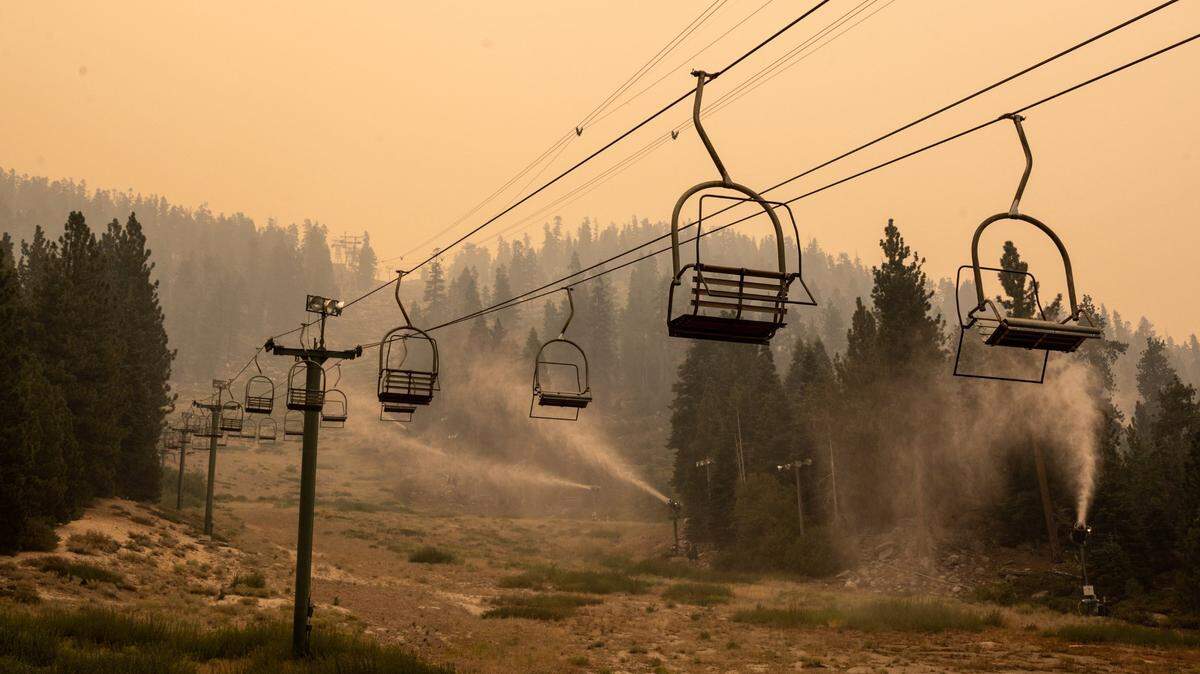
In El Dorado County, particularly in the South Lake Tahoe area, the air remains dangerously smoke-filled. One reading for South Lake Tahoe shows a level above 500, which is hazardous to breathe. In Tahoma, air is still unhealthy, with a readings of close to 160 on Thursday morning. Placerville AQI readings are less elevated, but they remain in the moderate-to-unhealthy ranges.
According to forecasts, El Dorado County will see overall AQI readings in the unhealthy range Thursday, but on Friday those levels may reach the “very unhealthy” range.
Placer County
In Placer, Tahoe City, Auburn, Roseville and Lincoln are observing moderate air quality Thursday, but forecasts suggest AQI will dip into the unhealthy zone later Thursday and into Friday.
This story was originally published September 2, 2021 at 7:45 AM.
.JPG)