Wildfire updates: River and Dixie fires continue to spread, multiple fires in Shasta-Trinity

READ MORE
California Wildfires
The latest on the wildfires burning in California. Get updates on the Caldor Fire, Dixie Fire and others, including size, containment, evacuation orders and more.
Expand All
Latest update to this story >> >> Wildfire updates: Dixie Fire 3rd largest in California history, sends smoke to Sacramento
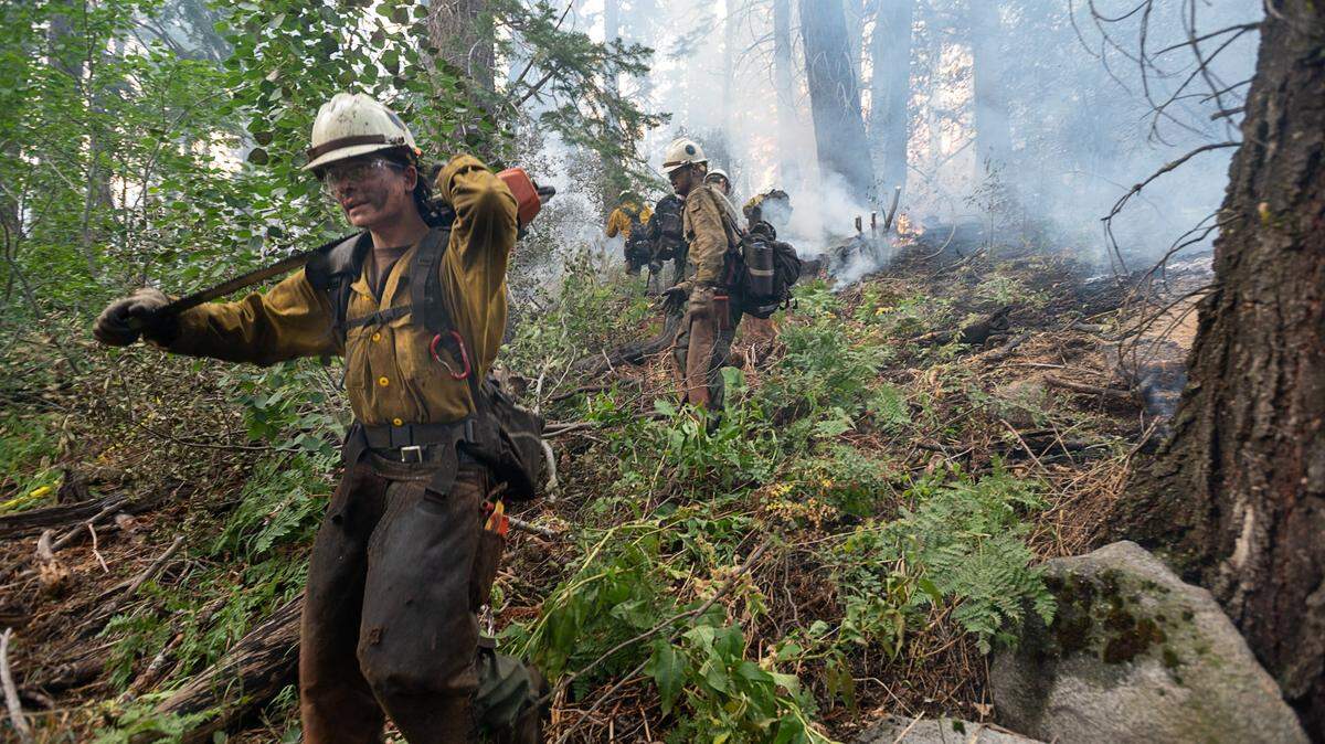
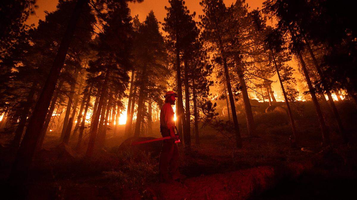
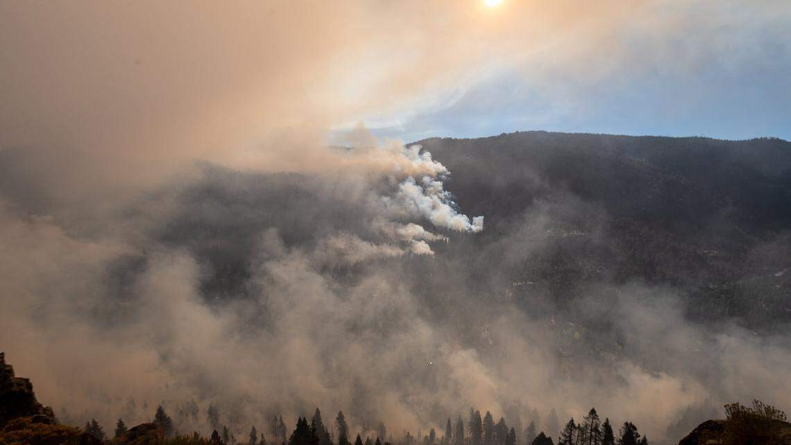
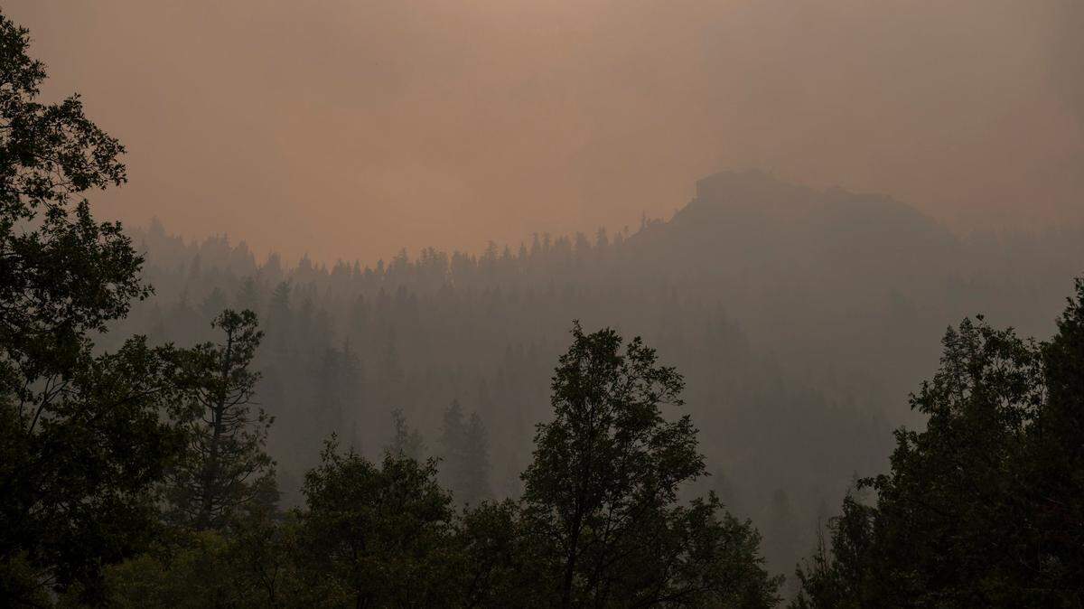
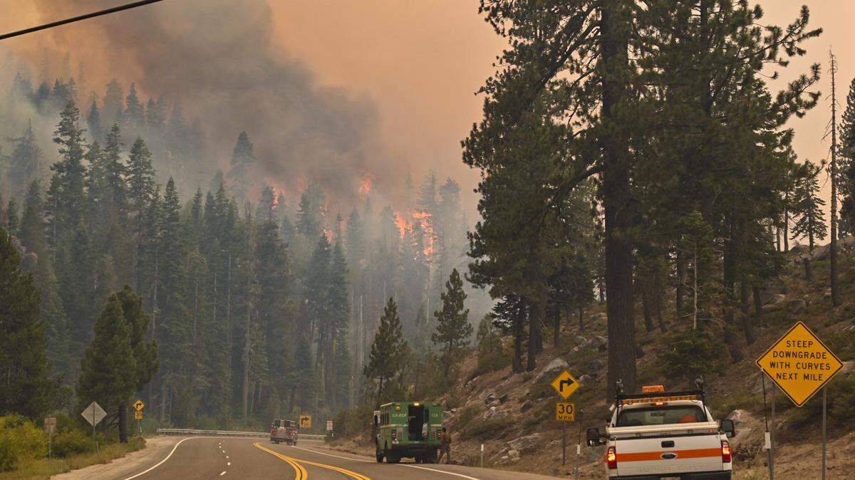
Northern California was on fire Thursday, with explosive growth at the River Fire, the continued spread of the Dixie Fire and multiple fires in the Klamath and Shasta-Trinity National forests.
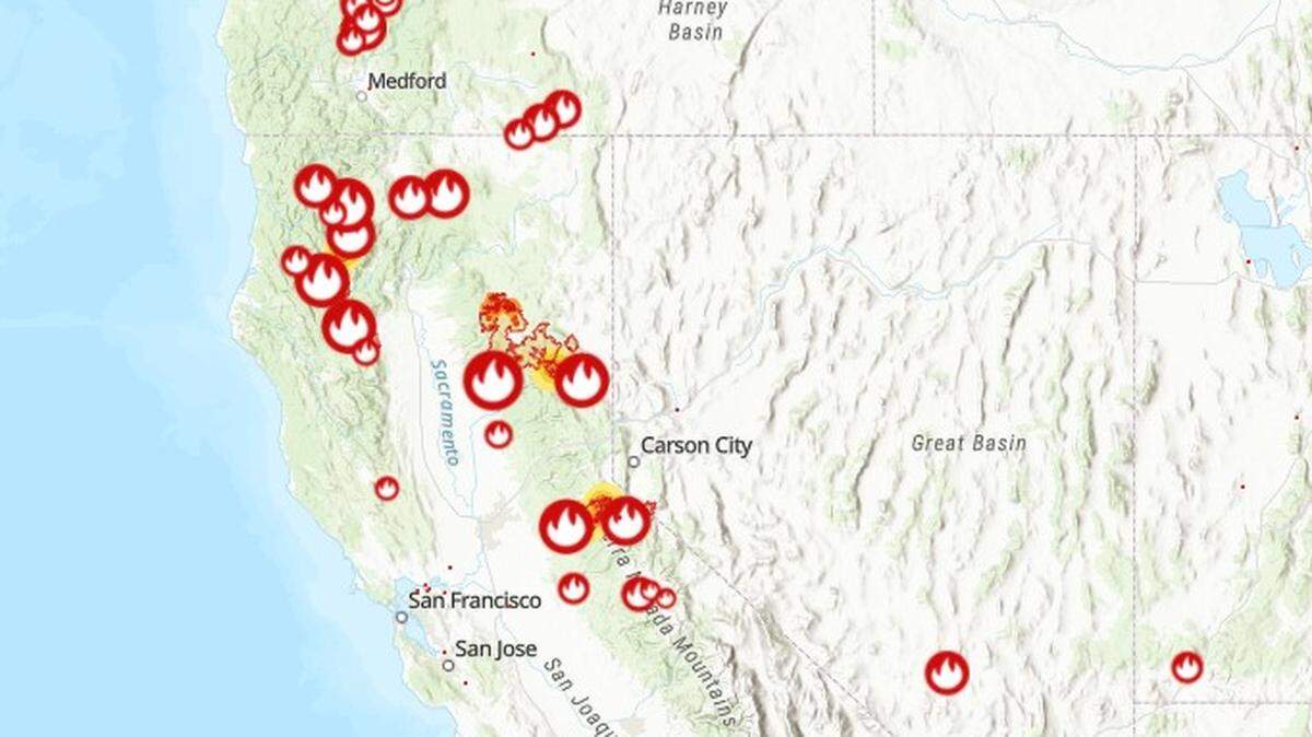
More than 20,000 firefighters and support personnel battled 97 active wildfires covering 2,919 square miles in 13 U.S. states, according to the National Interagency Fire Center.
There were 16 active wildfires burning in CA alone Thursday.
Dry heat and low humidity along with gusty winds Wednesday afternoon and evening continued the spread of these fires. The fires changed directions Thursday and fire activity could pick up again, according to officials.
Here’s the progress on the state’s notable wildfires as of 1 p.m. Thursday:
Dixie Fire
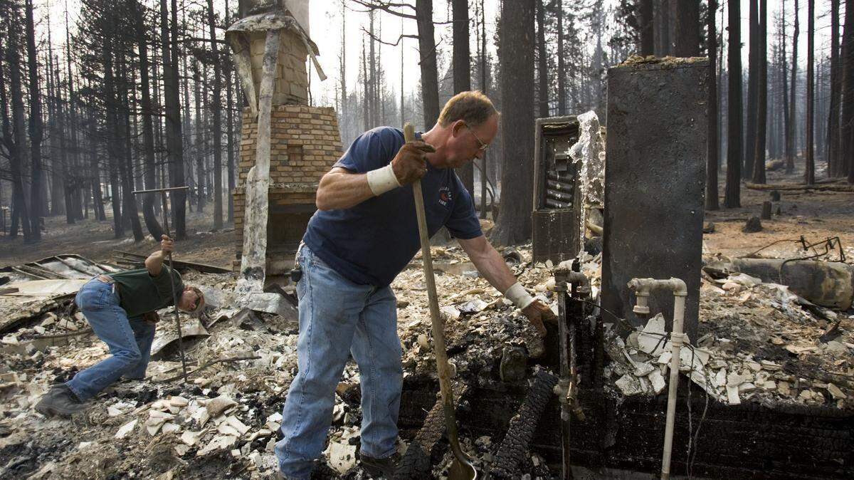
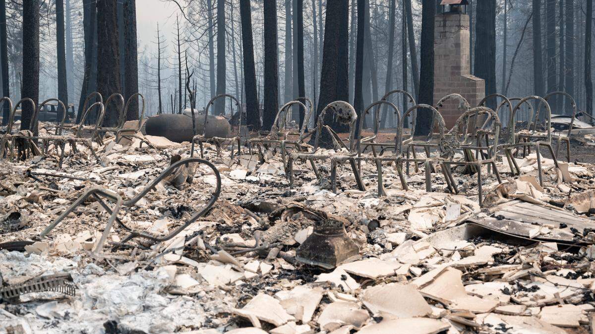
The Dixie Fire burning in Butte, Tehama and Plumas counties is now the sixth-largest in California history after it exploded to 322,000 acres (435 square miles).
Much of the tiny Plumas County community of Greenville was in ruins Thursday, reduced to ashes by the Dixie Fire. Cal Fire said the three-week-old fire grew to 322,502 acres overnight, driven by fierce winds, and leveled parts of Greenville, a Gold Rush-era community of about 1,000. “Reports indicate that Greenville is 75 percent destroyed,” federal fire officials said in an incident briefing.
The Dixie Fire is the largest fire in California this year and the sixth-largest by acreage in state history. It grew by about 15% overnight and remained 35% contained for the third day.
But it was just one of several fires burning in the state of California on Thursday.
River Fire
The River Fire located 45 miles northeast of Sacramento led to the evacuation of thousands of residents in Nevada and Placer County. It started Wednesday afternoon around 2:30 p.m. when crews responded to a vegetation fire on Bear River Campground. It has since exploded to over 2,400 acres and 0% of the fire was contained as of 10:45 a.m. Thursday morning.
At least 50 structures were destroyed by the fire and more than 500 fire personnel were assigned.
Beckwourth Complex
Lightning in the Plumas National Forest ignited two fires at around 10:00 a.m. July 3. The Sugar Fire started west of Sugarloaf Peak and the Dotta Fire started near Dotta Canyon. The fires burned a combined total of 105,670 acres (165 square miles) and were 98% contained as of 8:30 a.m. Aug. 2.
The fires led to warnings for Plumas County residents.
Tamarack Fire
Fire personnel have mostly contained the Tamarack Fire. The fire was 78% contained and burned 68,696 acres (107 square miles) as of 8 a.m. Aug. 5.
A lightning strike caused an initial fire near in the Mokelumne Wilderness on July 4. The National Forest Service decided to let it burn until it exploded in size July 16 and burned through Markleeville into Alpine County.
Shasta-Trinity July Lightning Complex
Large thunderstorms and lightning strikes caused multiple fires in the Shasta-Trinity National Forest. Two of the largest fires are the Monument Fire and the McFarland Fire. The Monument Fire located south of Del Loma has grown to 24,719 acres (39 square miles) with no containment. Evacuation orders are currently issued for Del Loma, Big Bar, and Cedar Flat.
The McFarland Fire which began near Wildwood south of Highway 36 had 7% containment and burned 23,409 acres (37 miles) as of 11 a.m. on Aug. 5. Evacuation orders are in place for residents of Wildwood and Highway 36 is closed.
River Complex
The River Complex fires started by numerous lightning strikes on July 30 in Klamath National Forest. Some of the smaller fires have been contained but others have expanded due to dry brush and vegetation. The River Complex was at 0% containment and burned 11,680 acres as of 8 a.m. on Aug. 5.
Evacuation orders are issued for Cecilville, all residents along Caribou Road and Taylor Creek Road, and surrounding areas.
Antelope Fire
The Antelope Fire may have been started by a lightning strike on Aug. 2 near Antelope Creek in Siskiyou County. The fire was at 0% containment and burned 20,980 acres (33 square miles) as of 11 a.m. on Aug. 5. Multiple evacuation orders have been issued by Siskiyou County Sheriff’s Office including Tennant, Bray, Mount Hebron, and surrounding areas.
Salt Fire
The Salt Fire began in late June south of Lakehead in the Shasta-Trinity National Forest. The fire was fully contained as of July 19. It burned 12,660 acres and destroyed over 40 structures. Residents east of I-5 in the Lakehead area were evacuated during the fire.
Lava Fire
Lightning ignited the Lava Fire on July 24 in the Shasta-Trinity National Forest and the fire burned 26,635 acres (42 square miles) as of 9 a.m. Aug. 5. The fire was at 78% containment with some smoldering towards the tree line. Firefighters have difficulty accessing the terrain due to rocky and steep terrain and limited water sources.
The fire caused the evacuation of thousands of Siskiyou County residents.
Tiltill Fire
Ten fires were ignited by lightning in Yosemite National Park between July 30 and July 31. One of the largest is the Tiltill Fire, which was at 489 acres on Thursday and located in Tiltill Valley. The fire was at 10% containment as of 7:50 a.m. Aug. 5. The fire was suppressed and 20 fire personnel were assigned to the area.
This story was originally published August 5, 2021 at 2:06 PM with the headline "Wildfire updates: River and Dixie fires continue to spread, multiple fires in Shasta-Trinity."
.JPG)