Not over yet: Another major rain and wind storm will hit the Sacramento region this week
READ MORE
Northern California Storms
Click on the arrow below to read more on the storms and flooding in Northern California.
Expand All
Round one was impressive. Round two could be just as bad.
Another major winter storm is expected to hit the Sacramento region on Wednesday and Thursday, bringing with it significant rain, heavy snow in the Sierra and wind gusts reaching 50 mph.
And before that storm hits, a weaker weather event is forecast to hit the Sacramento region on Monday, with the National Weather Service forecasting between one half and three quarters of an inch of rain. It won’t be nearly as strong as Saturday night’s epic storm.
“It’s not common to have (these storms) in such quick succession, but it’s not unheard of,” said Hannah Chandler-Cooley, a meteorologist with the National Weather Service.
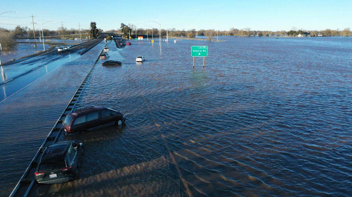
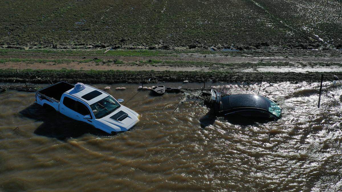
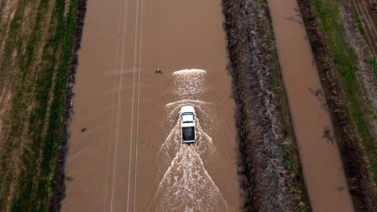
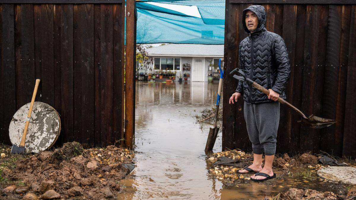
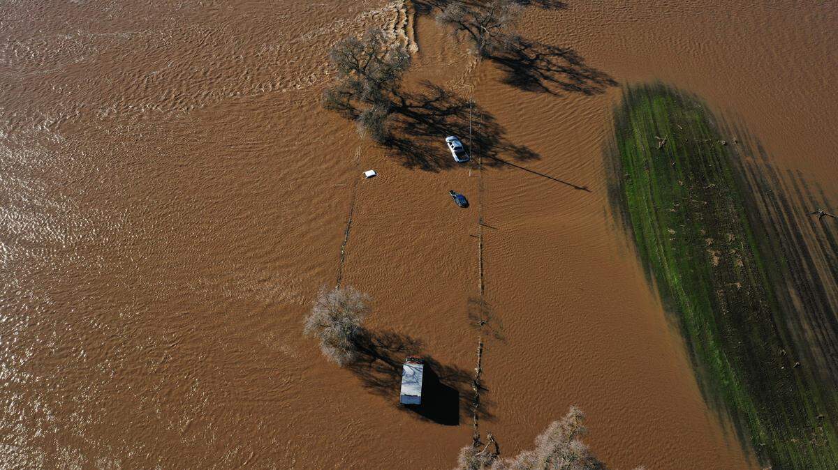
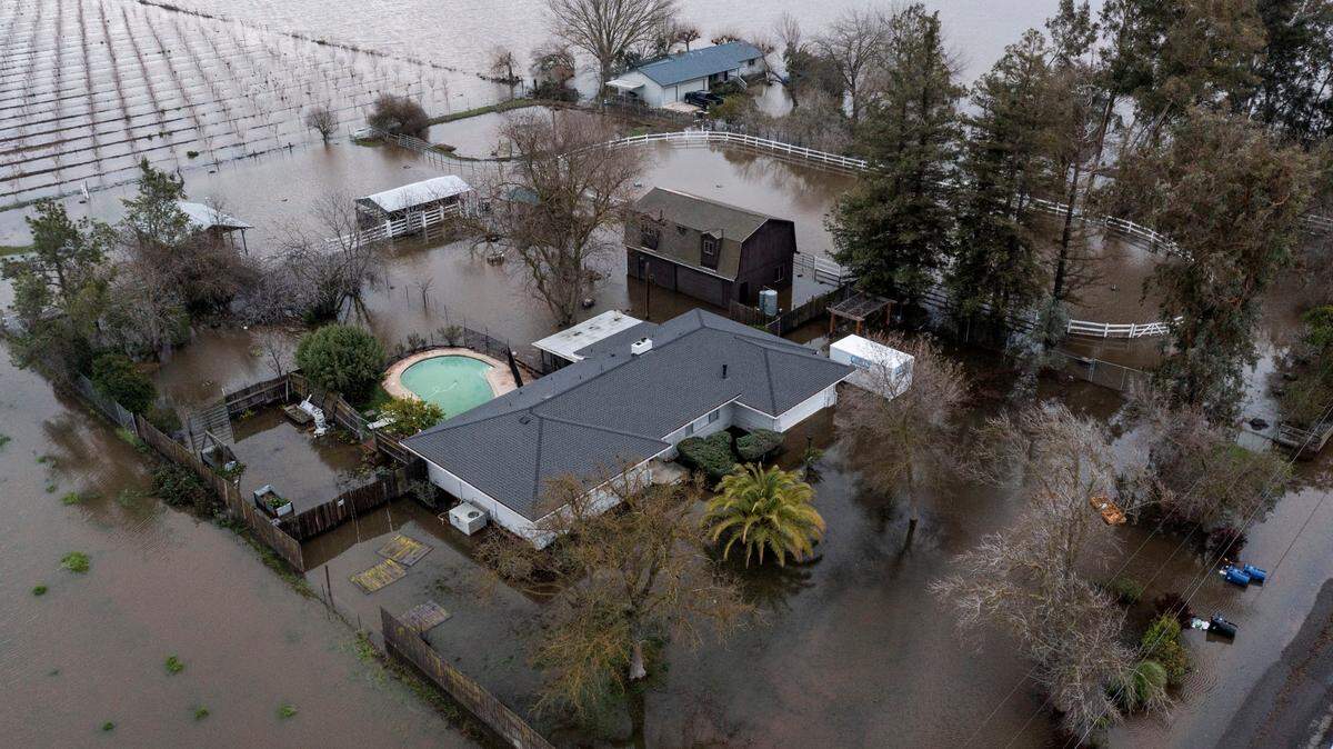
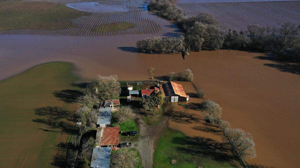
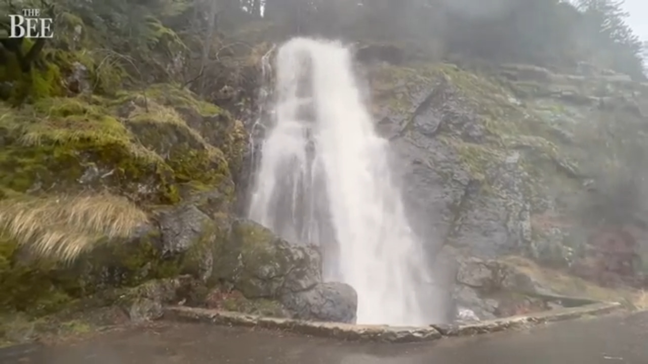
The 24-hour rain totals from the New Year’s Eve storm were impressive. Nearly 4 inches fell in Georgetown, Rescue, Pilot Hill and El Dorado Hills in El Dorado County. The Auburn area saw around 3.5 inches of rain. Rancho Murieta, in eastern Sacramento County, had 4.3 inches of rain, and more than 3.5 inches fell in Natomas, Folsom, Elk Grove and Orangevale.
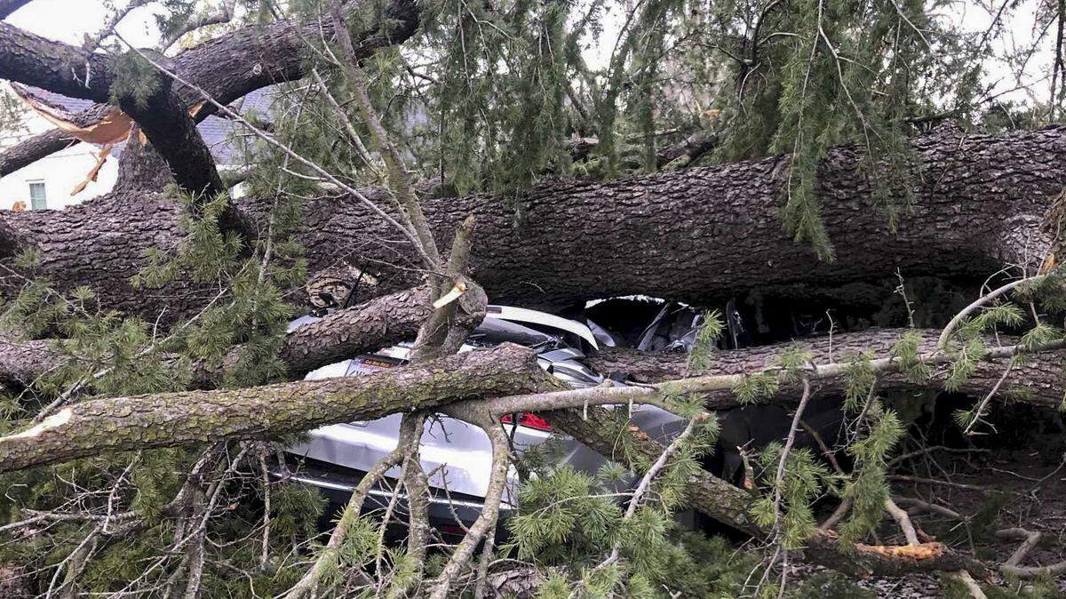
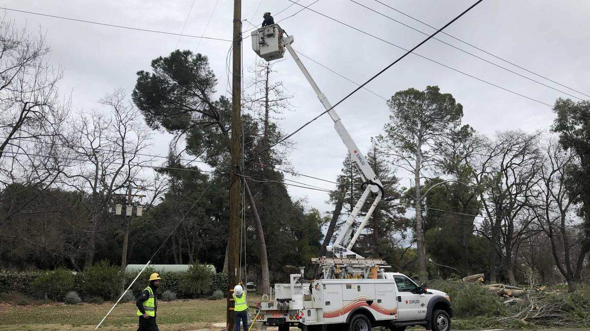
Alpine Meadows, in the Sierra Nevada, saw a wind gust of 82 miles per hour. A gust of 64 miles per hour was recorded at Sacramento Executive Airport.
The winds that knocked out power to thousands and toppled trees throughout the region “ended up stronger than what we were forecasting” due to “some local effects that our models didn’t pick up,” Chandler-Cooley said.

After a sunny Sunday and some rain Monday, there will likely be “some clouds and maybe a light drizzle here or there Tuesday,” Chandler-Cooley said.
By Wednesday afternoon, conditions will begin to worsen.
The heaviest rain of the next storm will hit the region Wednesday night through Thursday morning, Chandler-Cooley said. For now, the forecast is calling for wind gusts of between 40 and 45 miles per hour, but that could change as the forecast models develop and predicted gusts could be more in the 50 miles per hour range, according to Chandler-Cooley.
Travelers planning to head to the mountains should plan to leave no later than Wednesday morning. Heavy snow is expected above 4,500 feet, with snow levels dropping on Thursday.
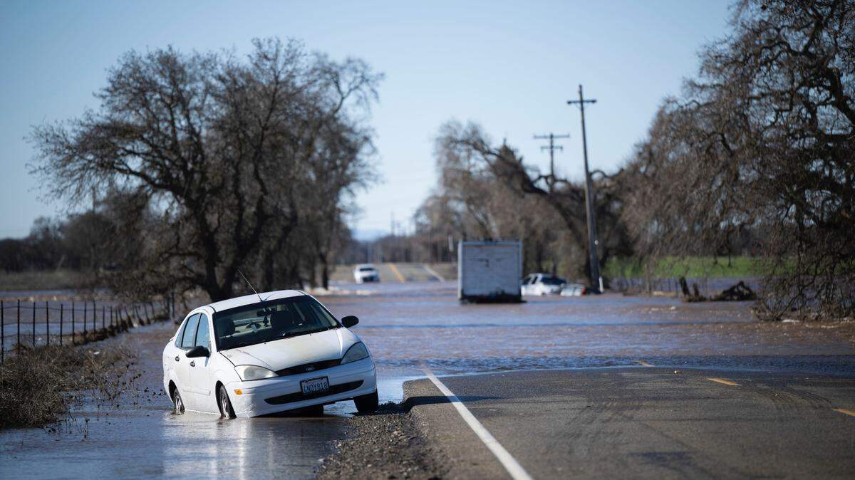
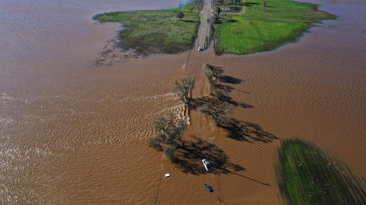
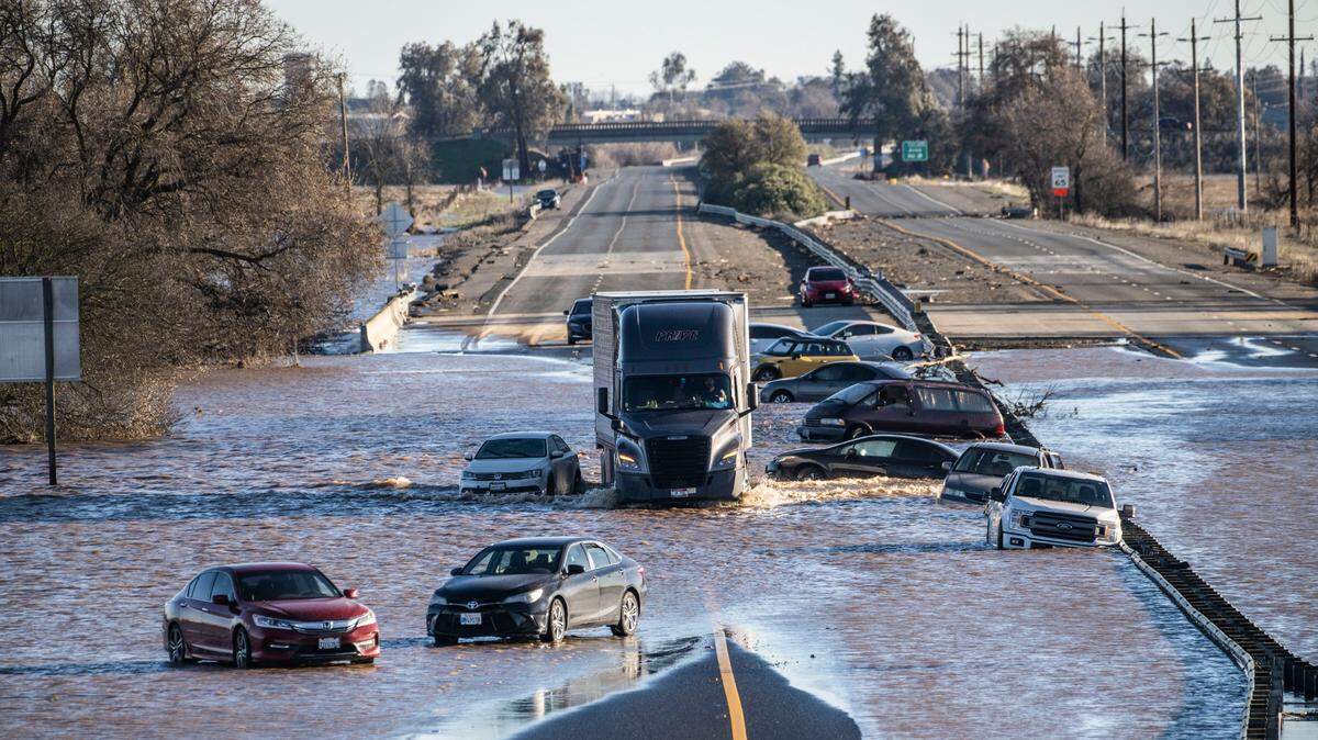
In the Valley, the Cosumnes River area will remain a concern. The Wednesday storm is expected to drop slightly less rain in the foothills than Saturday’s event. The rain totals over the past few days in the foothills fueled a major run-off into the Cosumnes, leading to flash flood warnings and a closure of Highway 99.
“The Cosumnes right now is an evolving situation,” Chandler-Cooley said. “We’re taking that hour by hour at this point.”

This story was originally published January 1, 2023 at 10:47 AM.