Sacramento sees the ‘wettest New Year’s Eve on record.’ Here’s how much rain, snow fell
READ MORE
Northern California Storms
Click on the arrow below to read more on the storms and flooding in Northern California.
Expand All
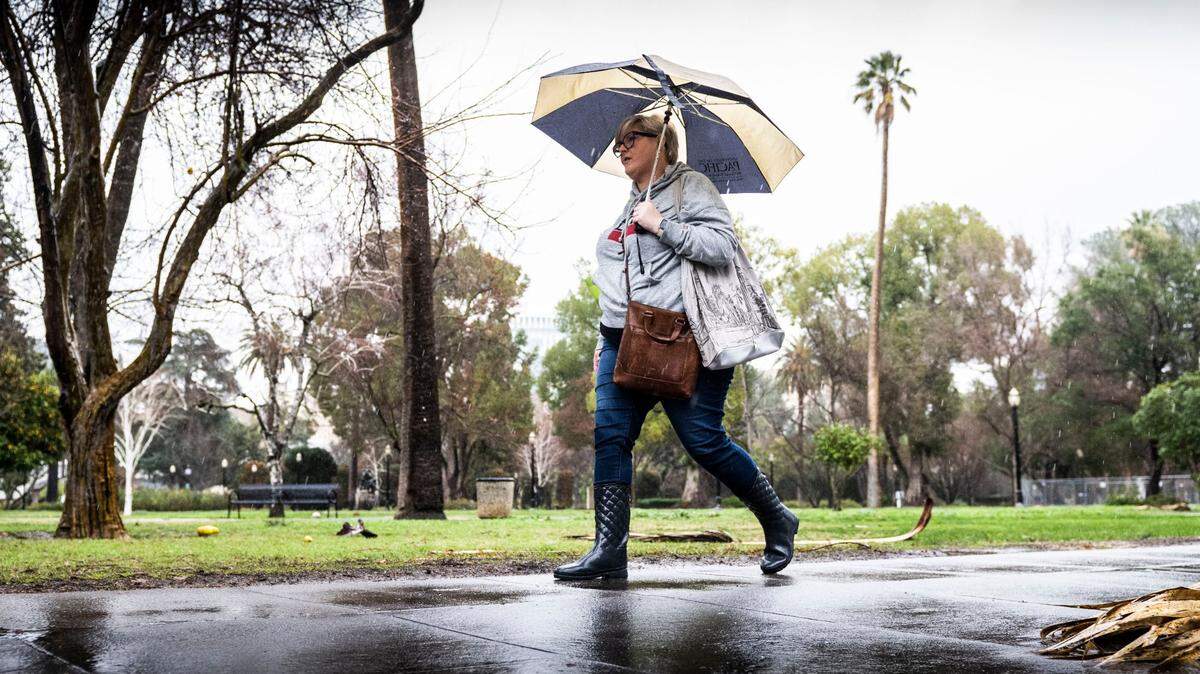
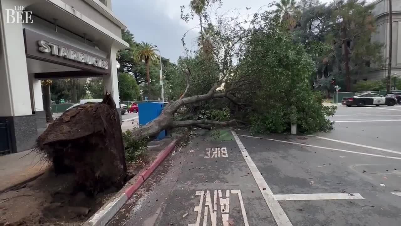
Impressive amounts of rain were recorded in the Sacramento region after a fierce winter storm swept through Northern California in what the National Weather Service called “one of the wettest New Year’s Eves on record.”
National Weather Service meteorologist Scott Rowe said downtown Sacramento saw 2.79 inches of rain in the 24 hours ending 7 a.m. Sunday while Sacramento Executive Airport saw 2.12 inches and Sacramento International Airport received 1.89 inches for a 24-hour total. The rainfall at Sacramento Executive Airport tied a record from 2005, according to Rowe.
“There was a solid 2 to 3 inches of rain across much of the metro area,” Rowe said.
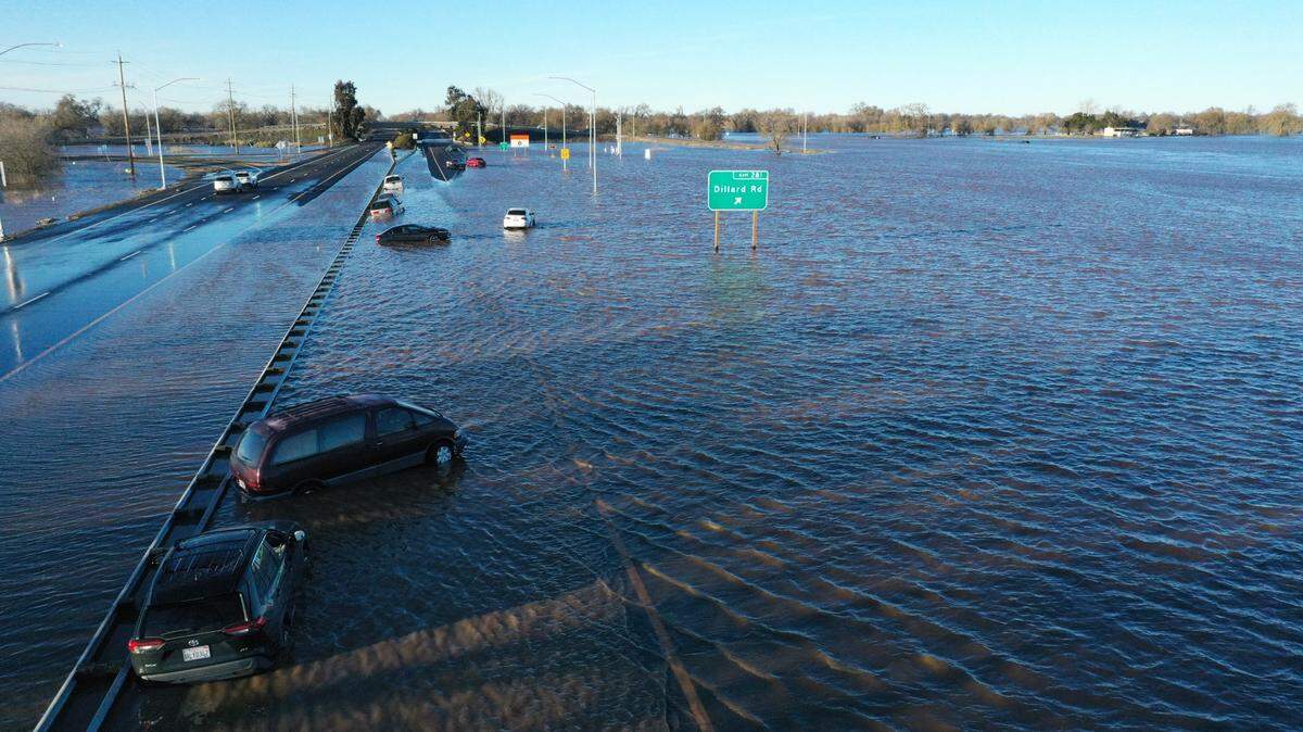
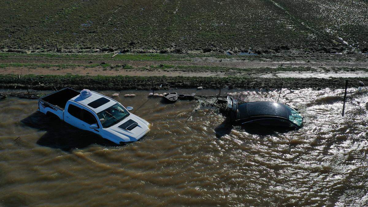
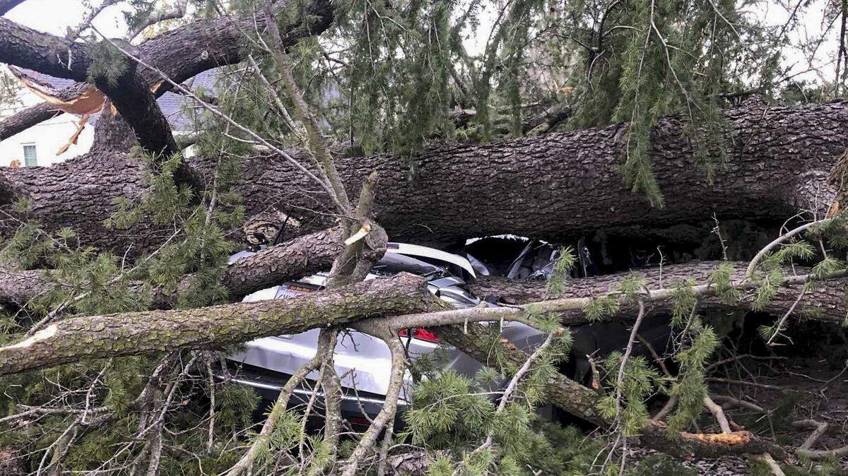
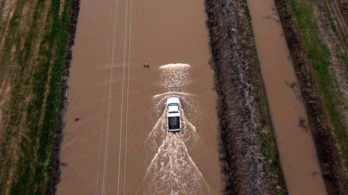
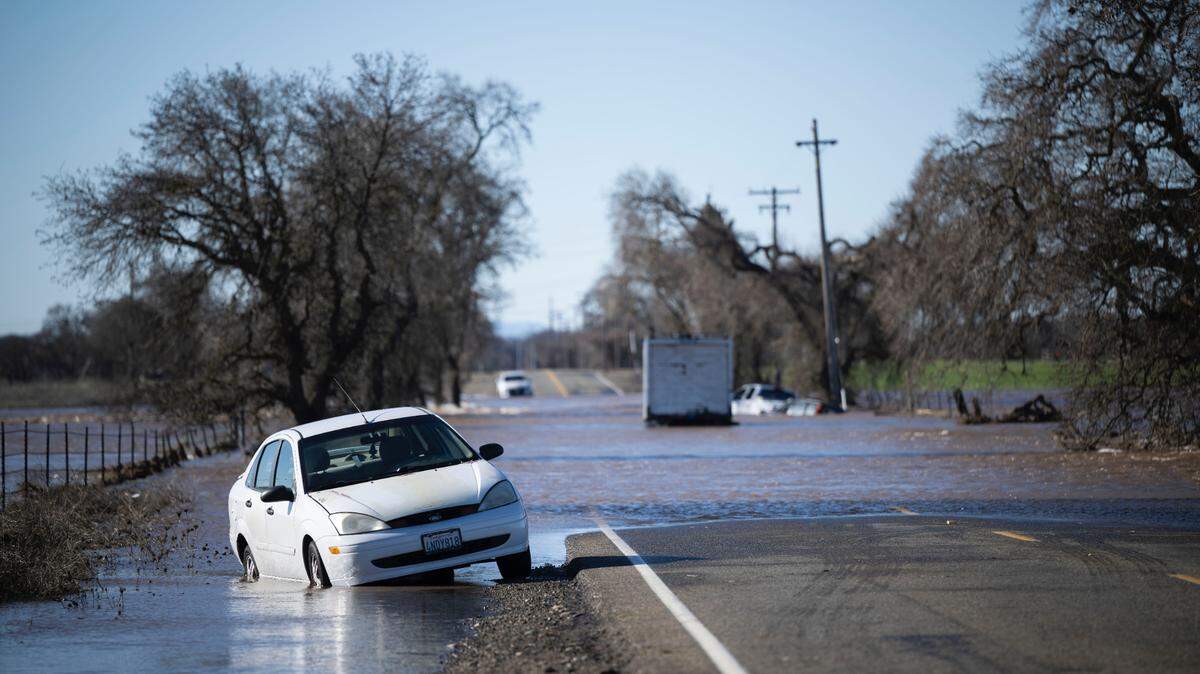
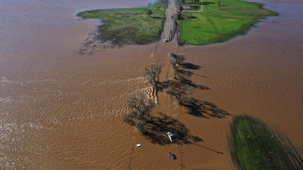
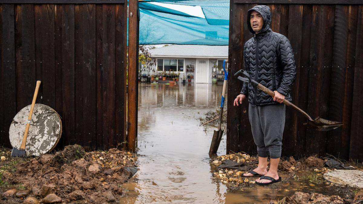
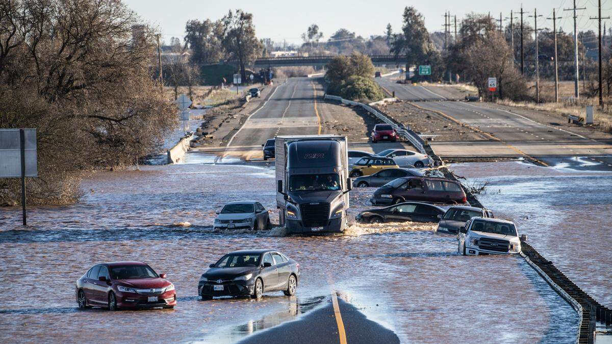
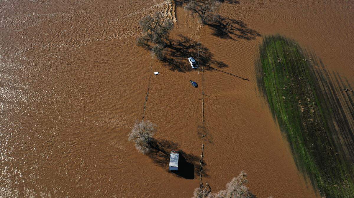
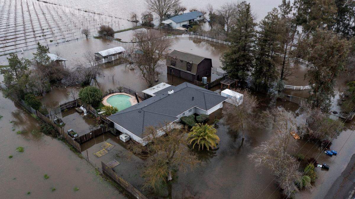
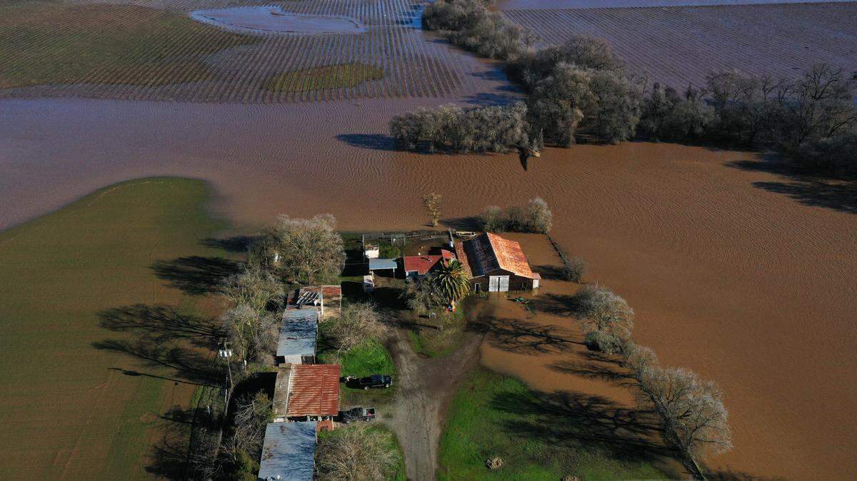
Authorities and residents were still navigating flood conditions in southern Sacramento County, including the closure of Highway 99 at Dillard Road, where upwards of four dozen motorists were rescued from floodwaters. Upstream along the Cosumnes River, two levees failed after being overtopped by the deluge.
Rain by the numbers
In Sacramento County, a gauge near Rancho Murieta received 4.29 inches of precipitation through 7 a.m. Sunday, according to the National Weather Service. Natomas, Folsom, Elk Grove and Orangevale all received 3.5 inches or more in the same period.
In Placer County, most locations received more than 2 inches of rain including Auburn Airport, which got 3.54 inches, and Loomis, which saw 3.04 inches of rain. Roseville, Blue Canyon and areas north of Rocklin all saw significant rainfall totals.
In El Dorado County, most locations saw 2 inches or more of precipitation. Georgetown received 3.98 inches through Sunday morning while Cameron Park, El Dorado Hills, Pilot Hill and Rescue saw more than 3 inches in the 24-hour period.
Davis received the most rain in Yolo County, according to meteorologists, netting 1.85 inches of rain in the 24-hour ending 7:30 a.m.

Storm packed punch in mountains
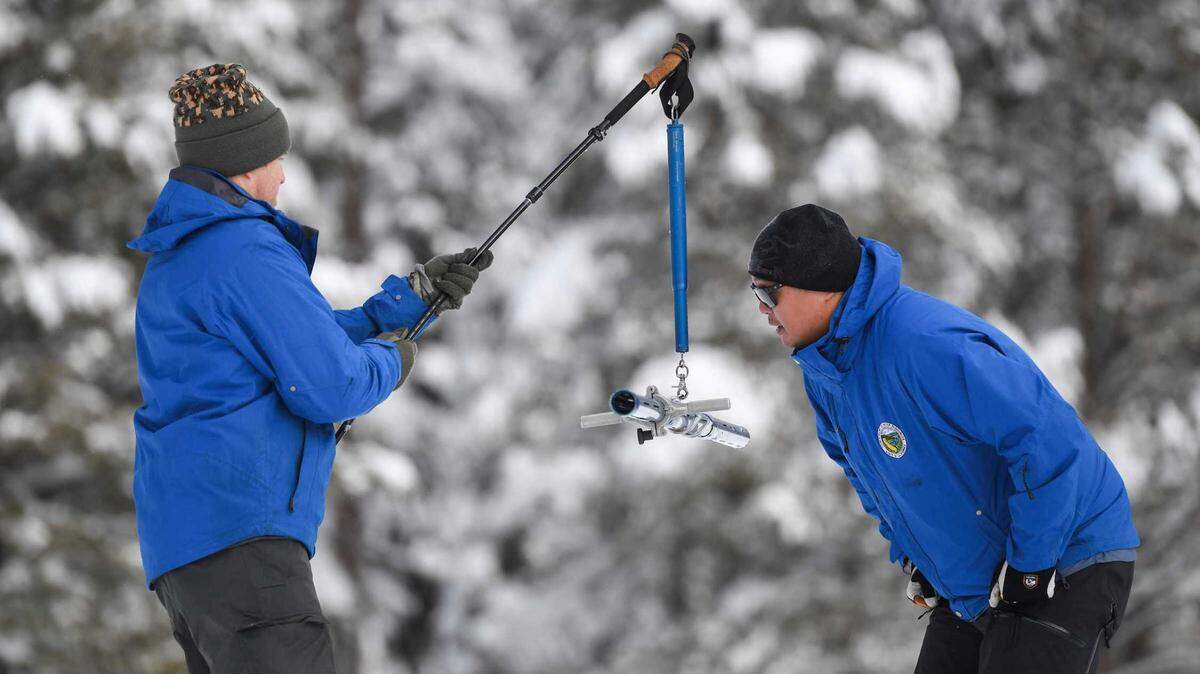
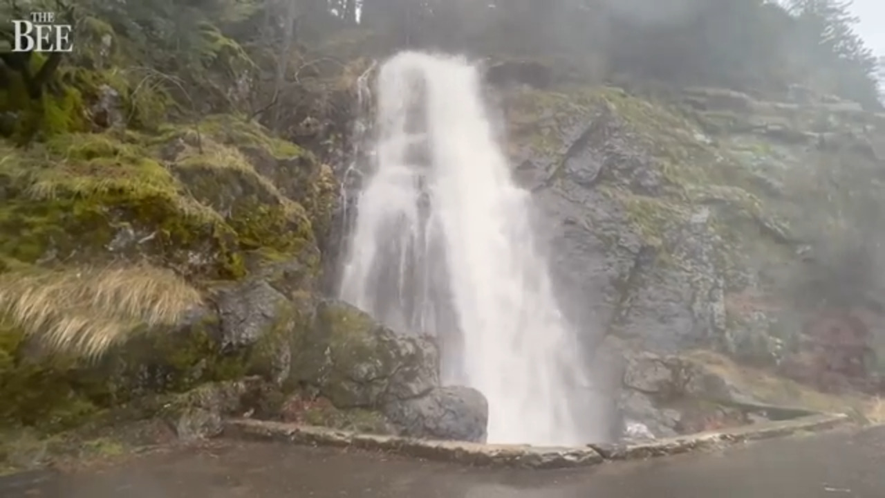
The storm didn’t let up in the Sierra, blanketing the region in snow.
The UC Berkeley Central Sierra Snow Lab in Tahoe reported 29.9 inches of new snow over a 24-hour period ending at 9 a.m. Scientists at the station said snow fell at a rate of 7.5 inches per hour between 4 and 5 p.m. Saturday. Since Friday, the lab has received nearly 34 inches of powder.
Ski resorts in the area posted additional impressive snowfall totals: Tahoe Donner recorded 39 inches of new snow Sunday morning and Sugar Bowl got 34 inches, as most North Tahoe ski spots saw 2 to 4 feet of snow from the 24-hour period. For the season, the basin has received upwards of 16 feet of snow.
The National Weather Service is expected to release more overnight snow totals for the Sierra region later Sunday.
Another storm coming
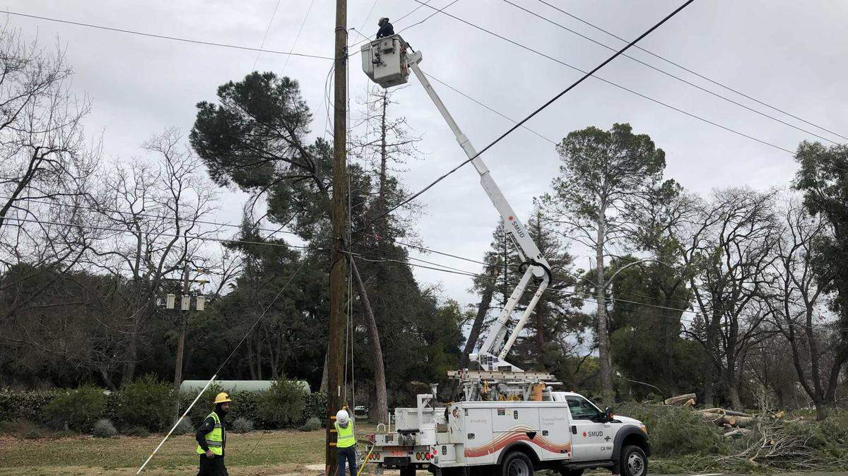
Another major winter storm is expected to hit the Sacramento region on Wednesday and Thursday, bringing with it significant rain, heavy snow in the Sierra and wind gusts reaching 50 mph.
After a sunny Sunday and some rain Monday, there will likely be “some clouds and maybe a light drizzle here or there Tuesday,” said Hannah Chandler-Cooley, a meteorologist with the National Weather Service.
By Wednesday afternoon, conditions will begin to worsen.
The heaviest rain of the next storm will hit the region Wednesday night through Thursday morning, Chandler-Cooley said.
For now, the forecast is calling for wind gusts of between 40 and 45 mph, but that could change as the forecast models develop and predicted gusts could be more in the 50-mph range, according to Chandler-Cooley.
Travelers planning to head to the mountains should plan to leave no later than Wednesday morning. Heavy snow is expected above 4,500 feet, with snow levels dropping on Thursday.
This story was originally published January 1, 2023 at 12:37 PM.